
Virginia is a paradise in the world that offers natural beauty and captivating landscapes. This state is not only rich in picturesque sites but also offers a harmonious mix of deep-rooted culture, stunning vistas, and engaging outdoor adventures. It's this unique combination that makes Virginia an ideal destination for overlanding.
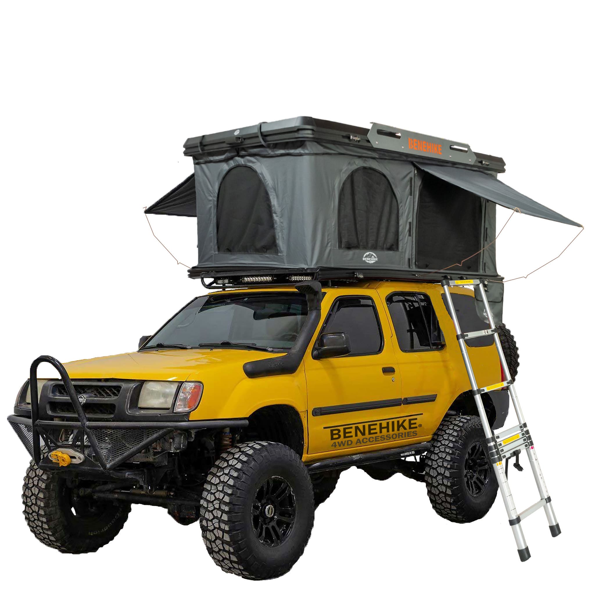
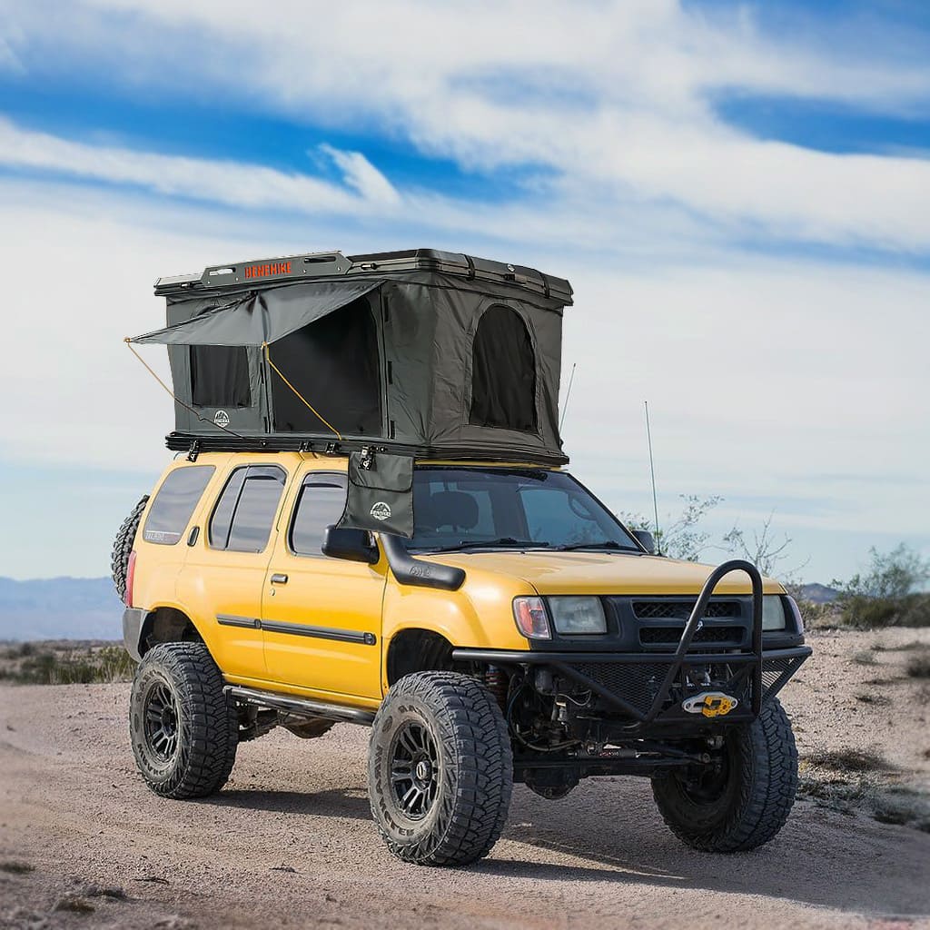
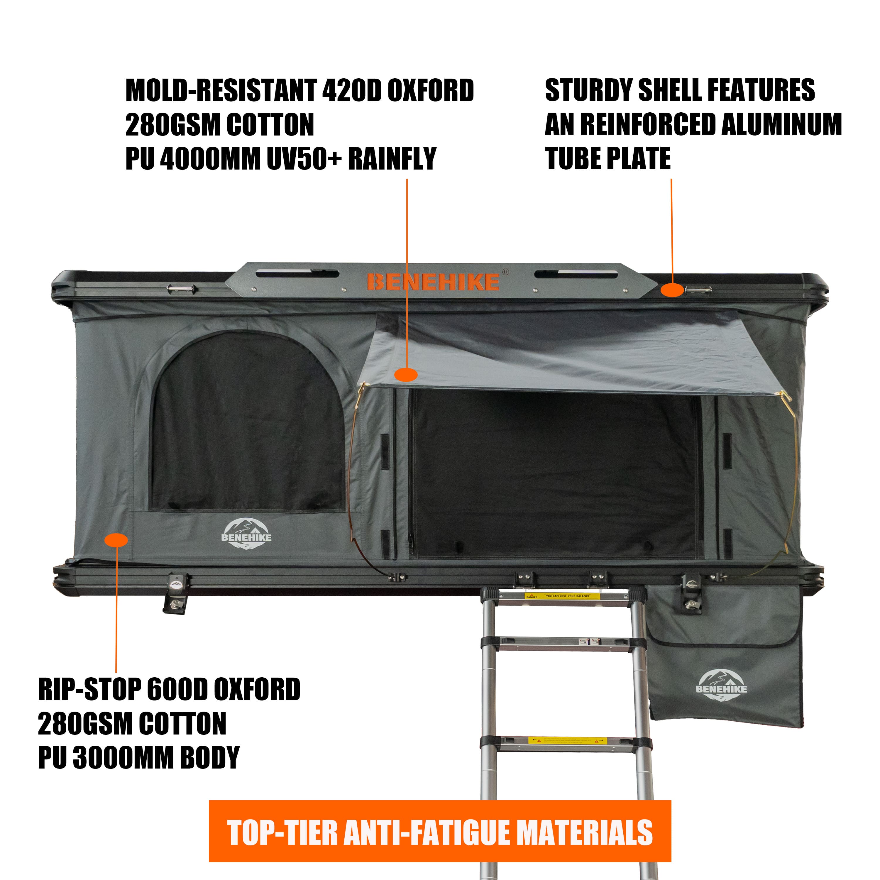
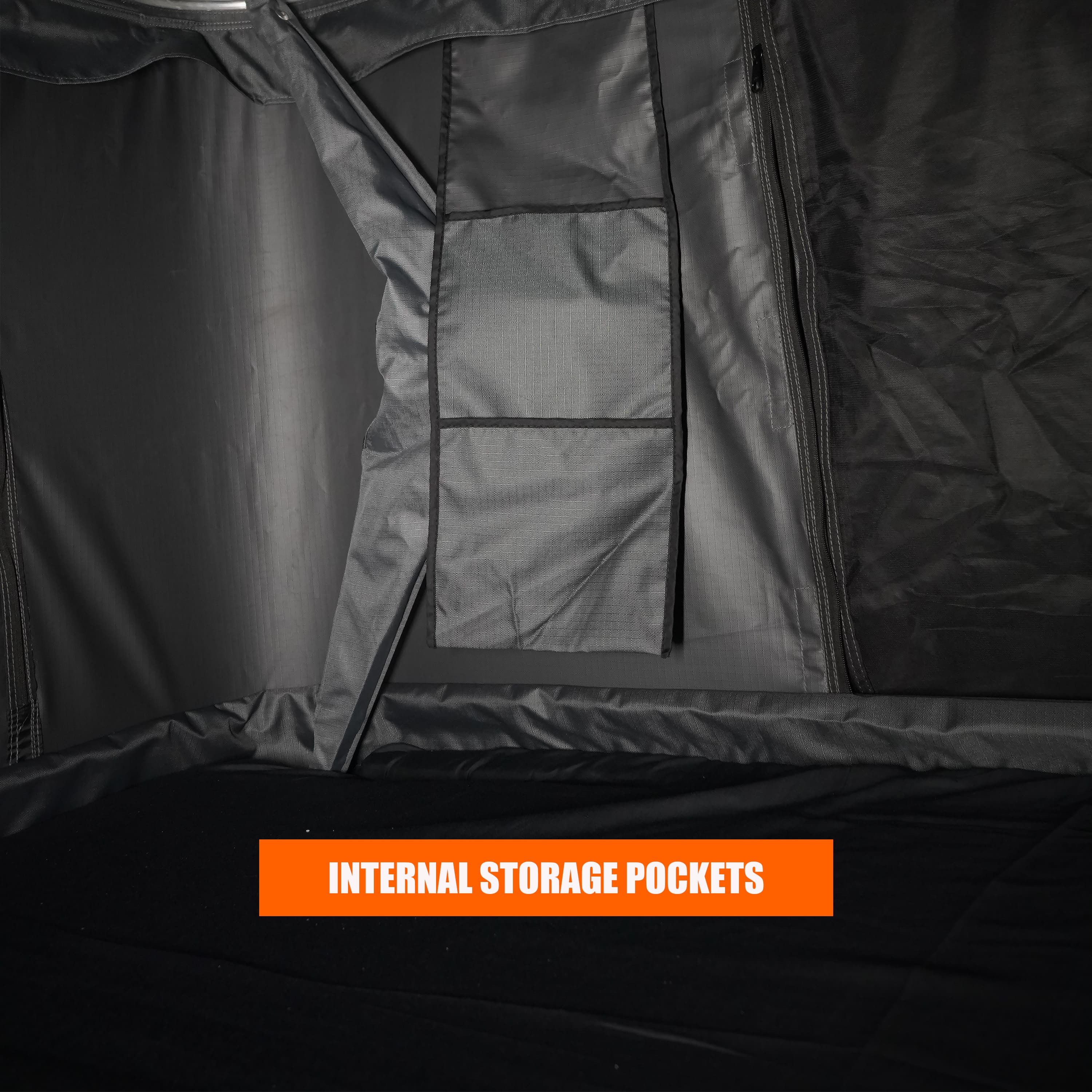
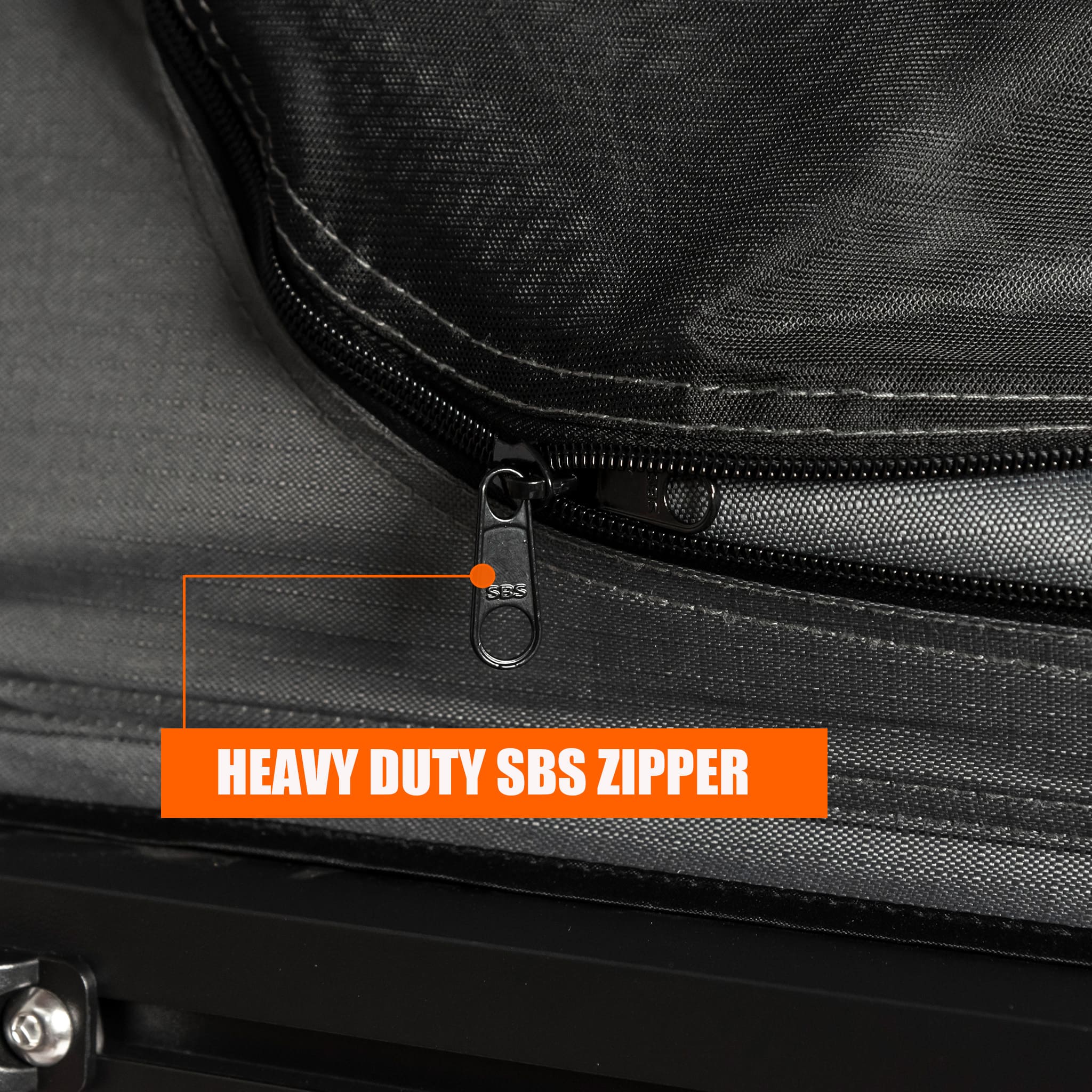
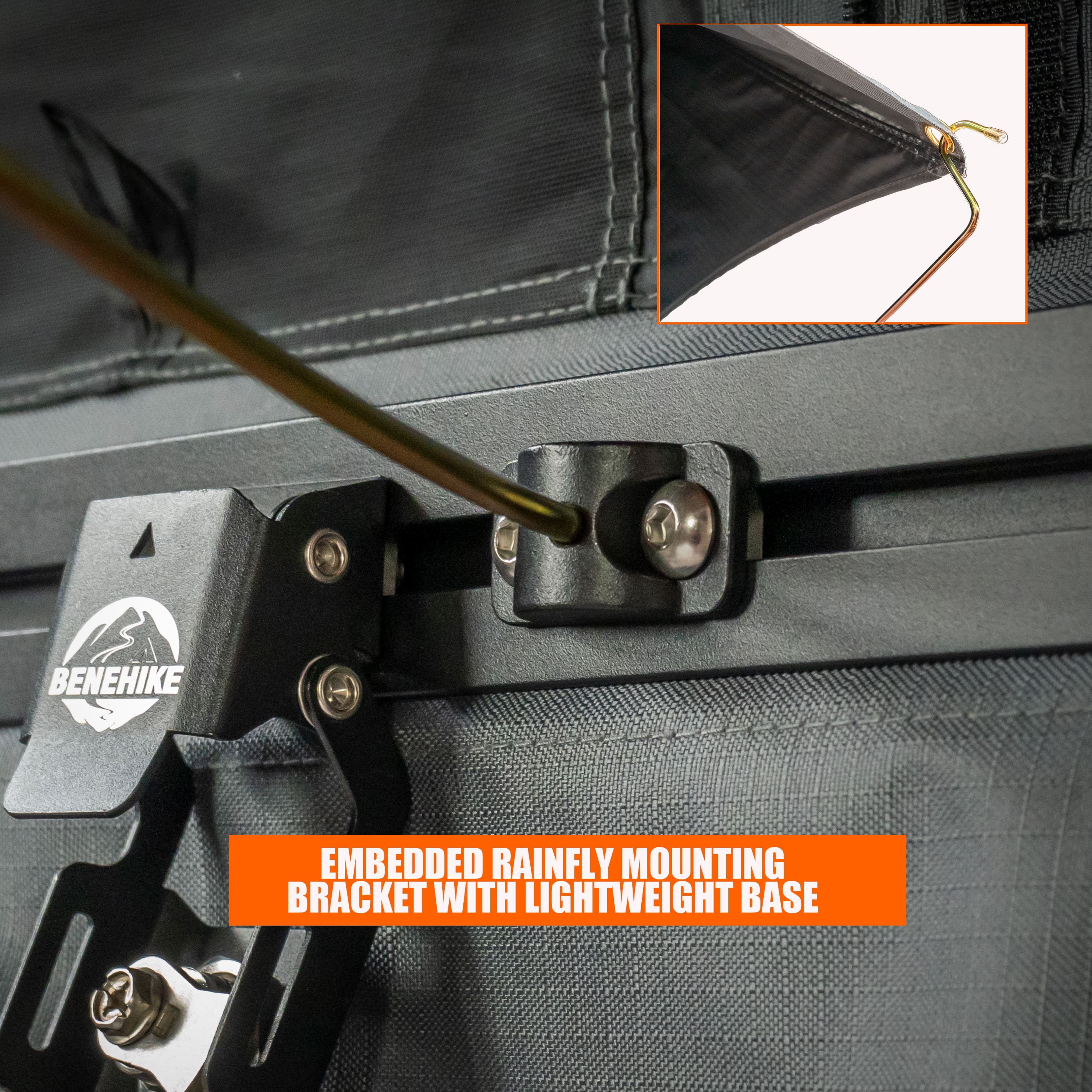
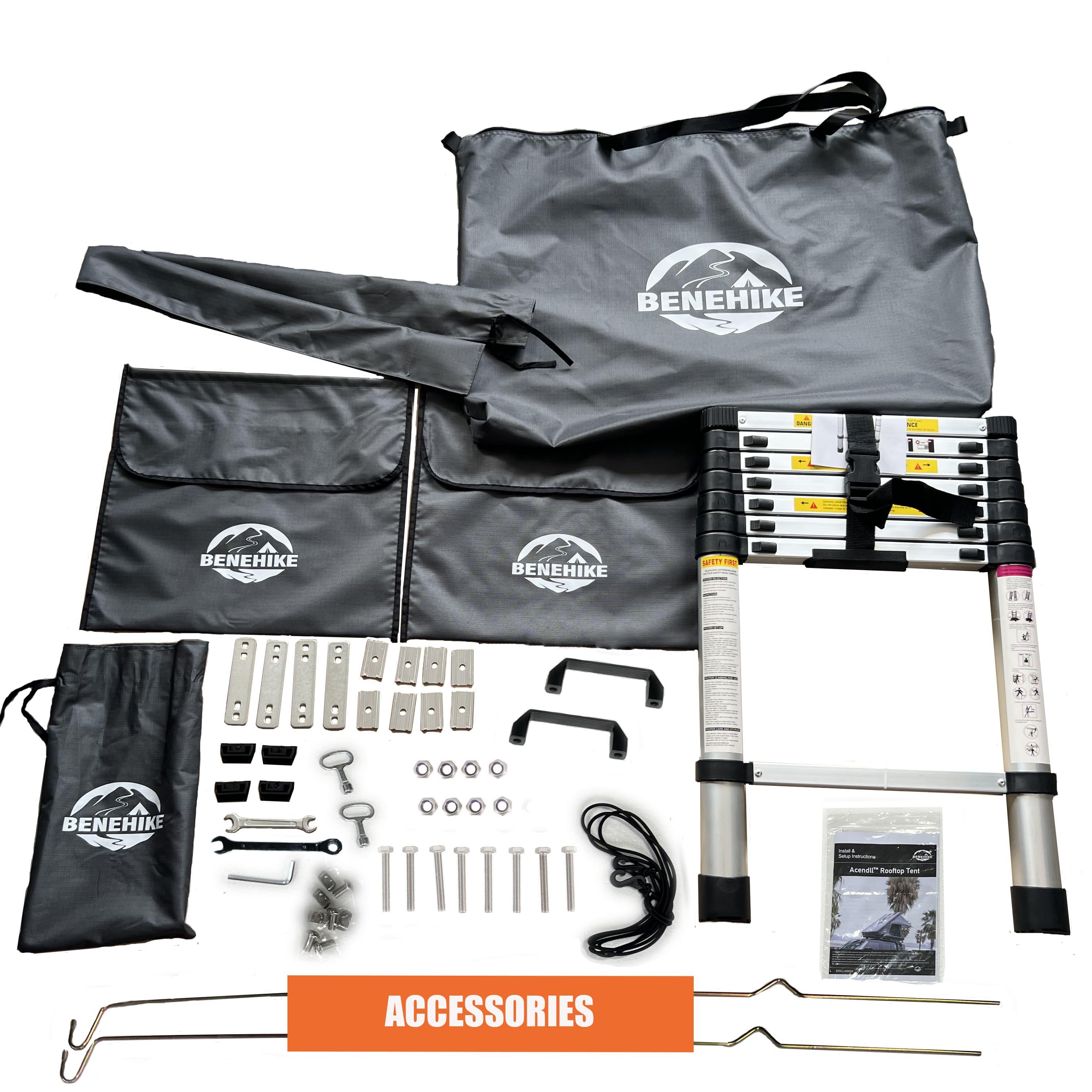
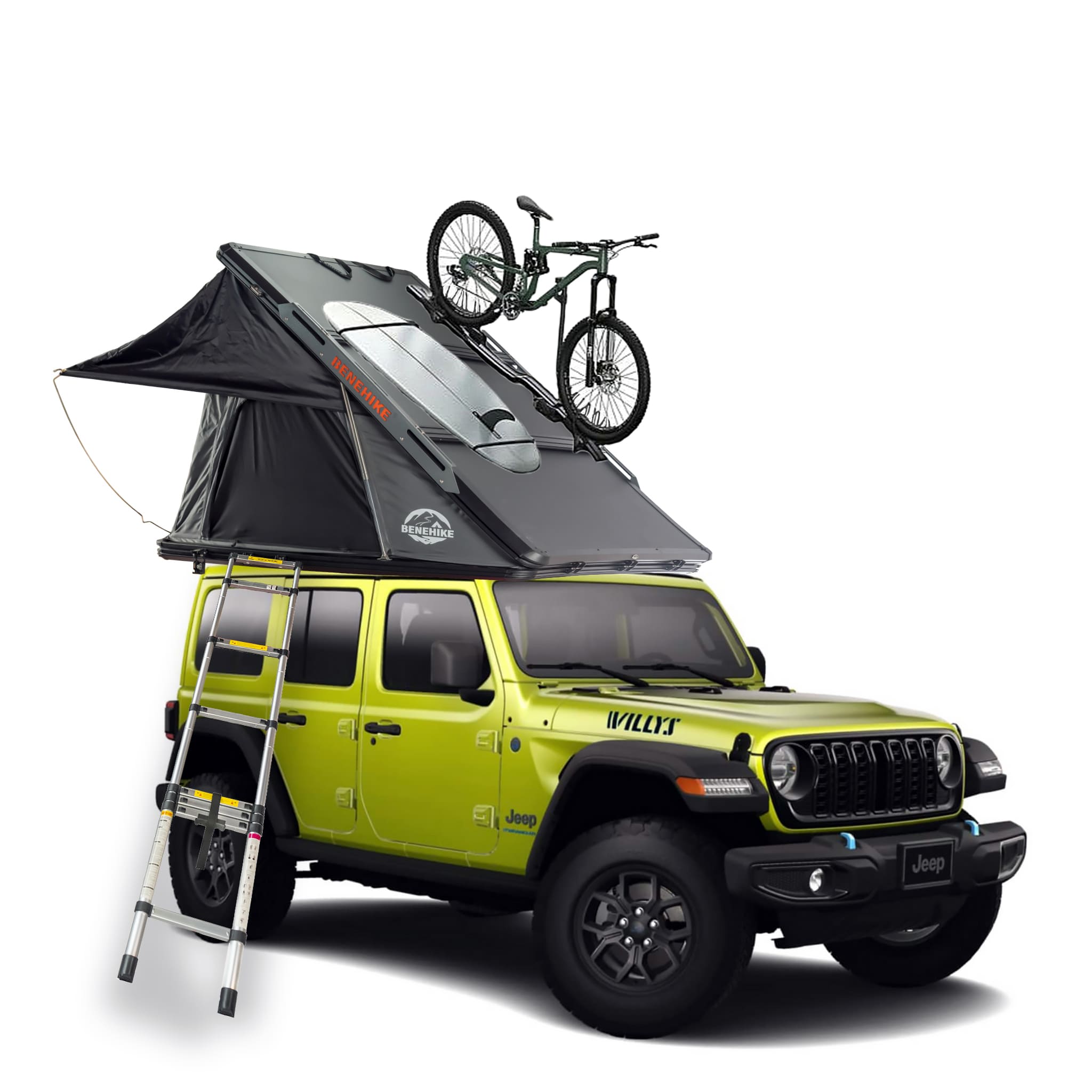
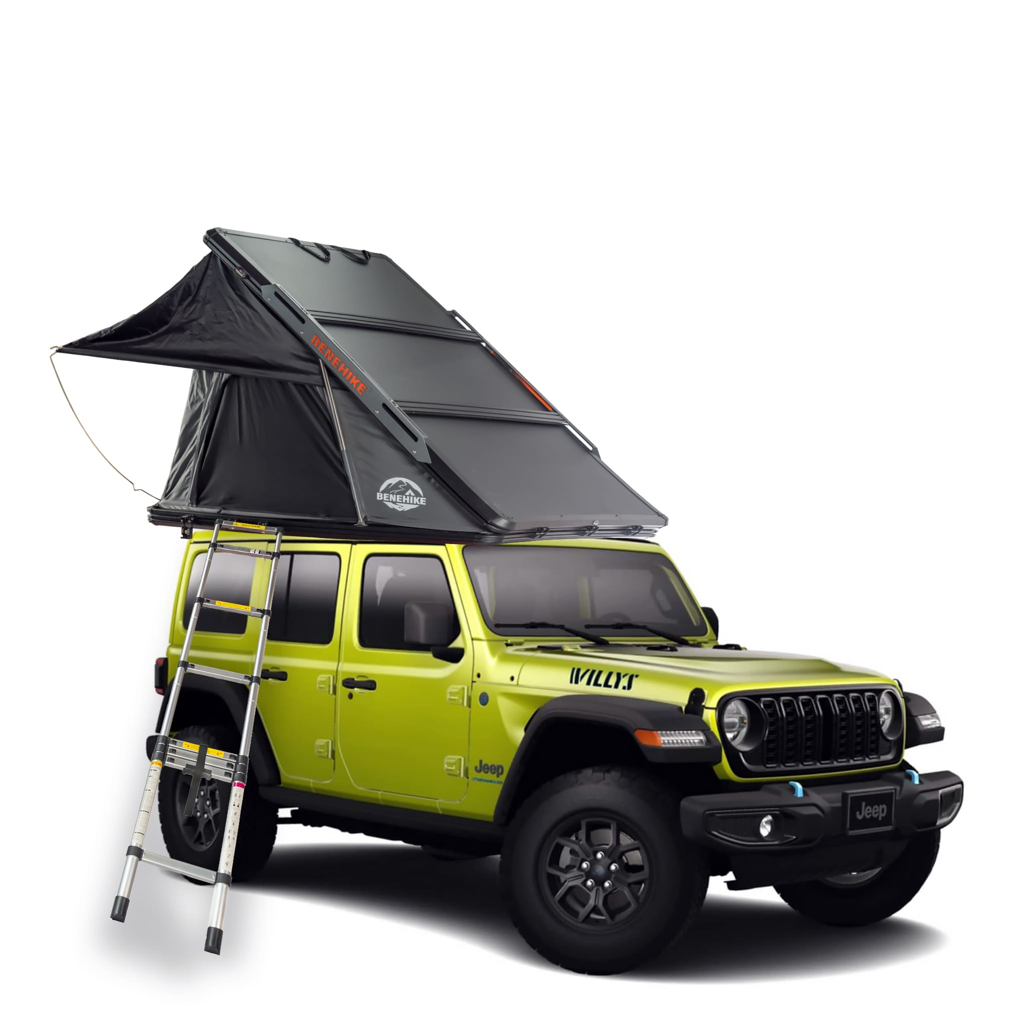
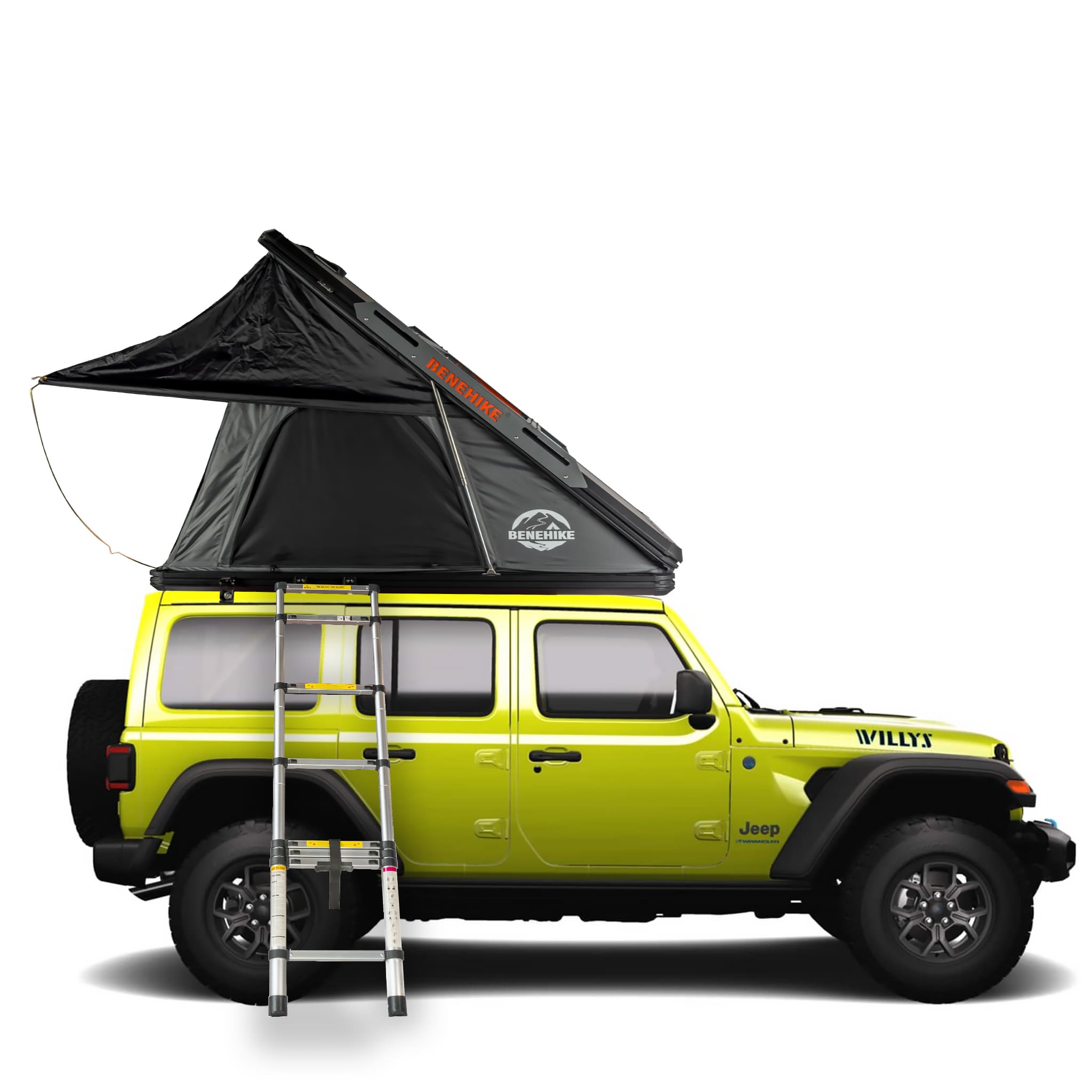
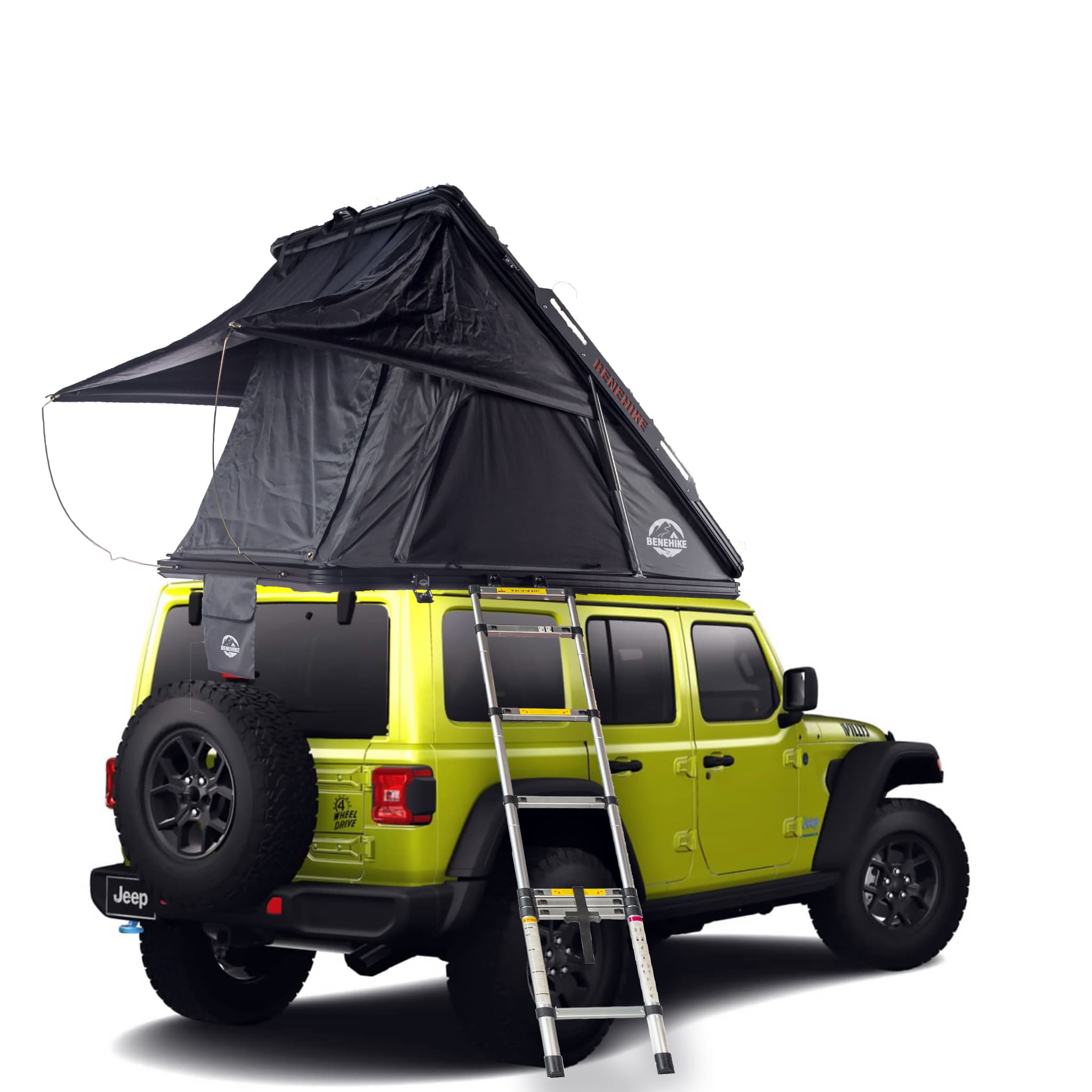
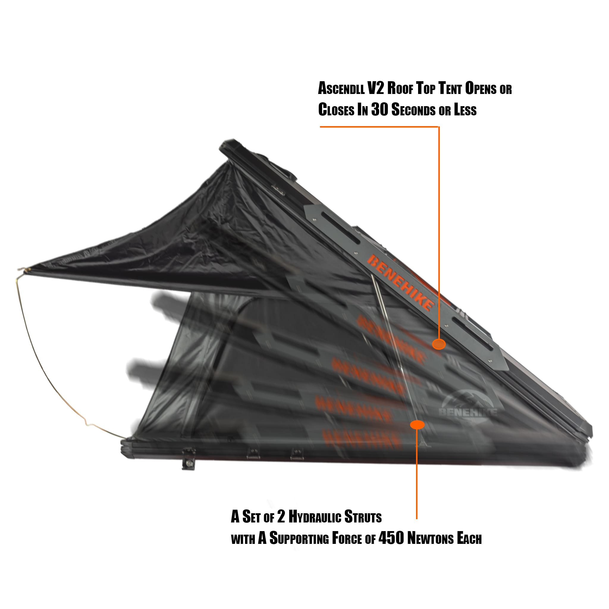
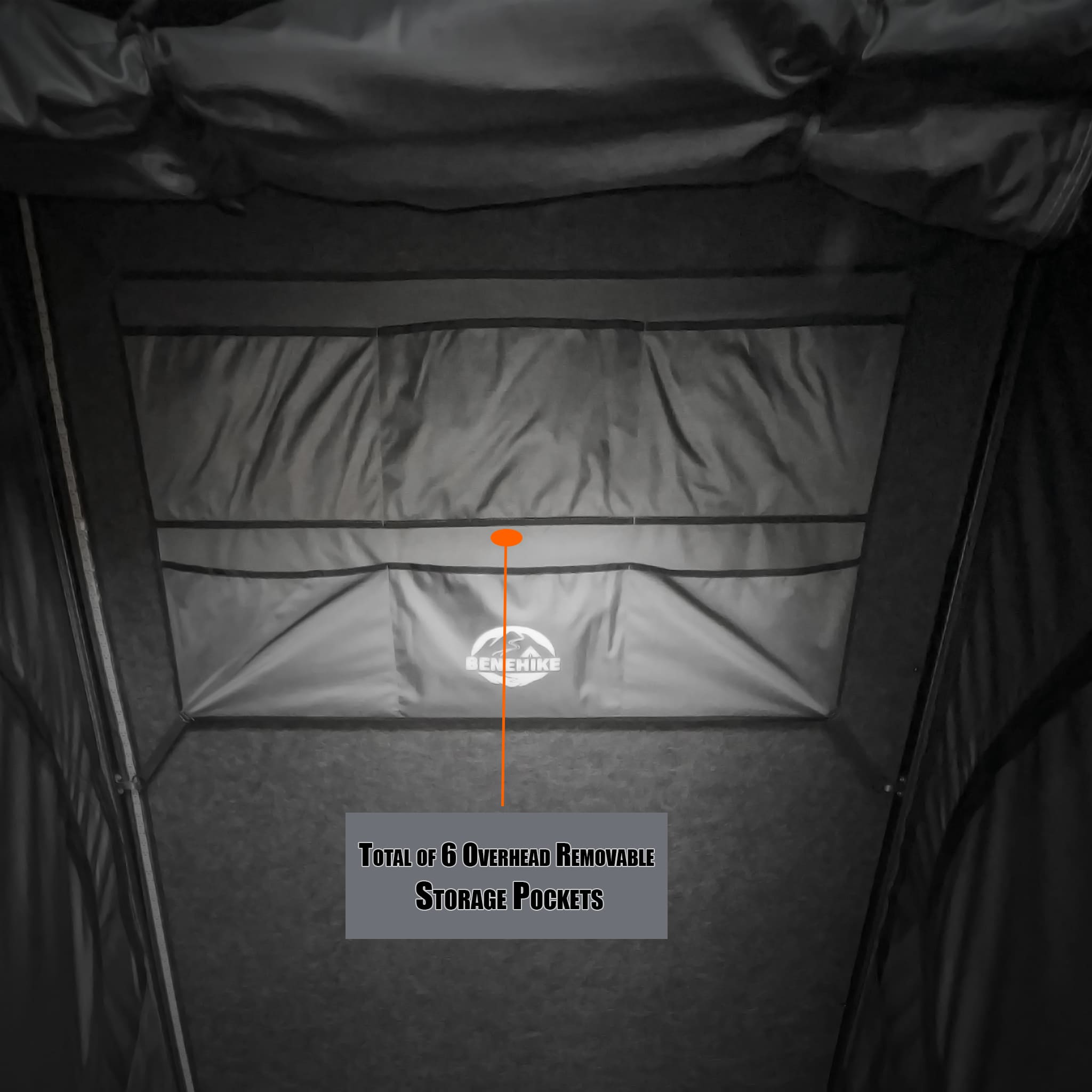
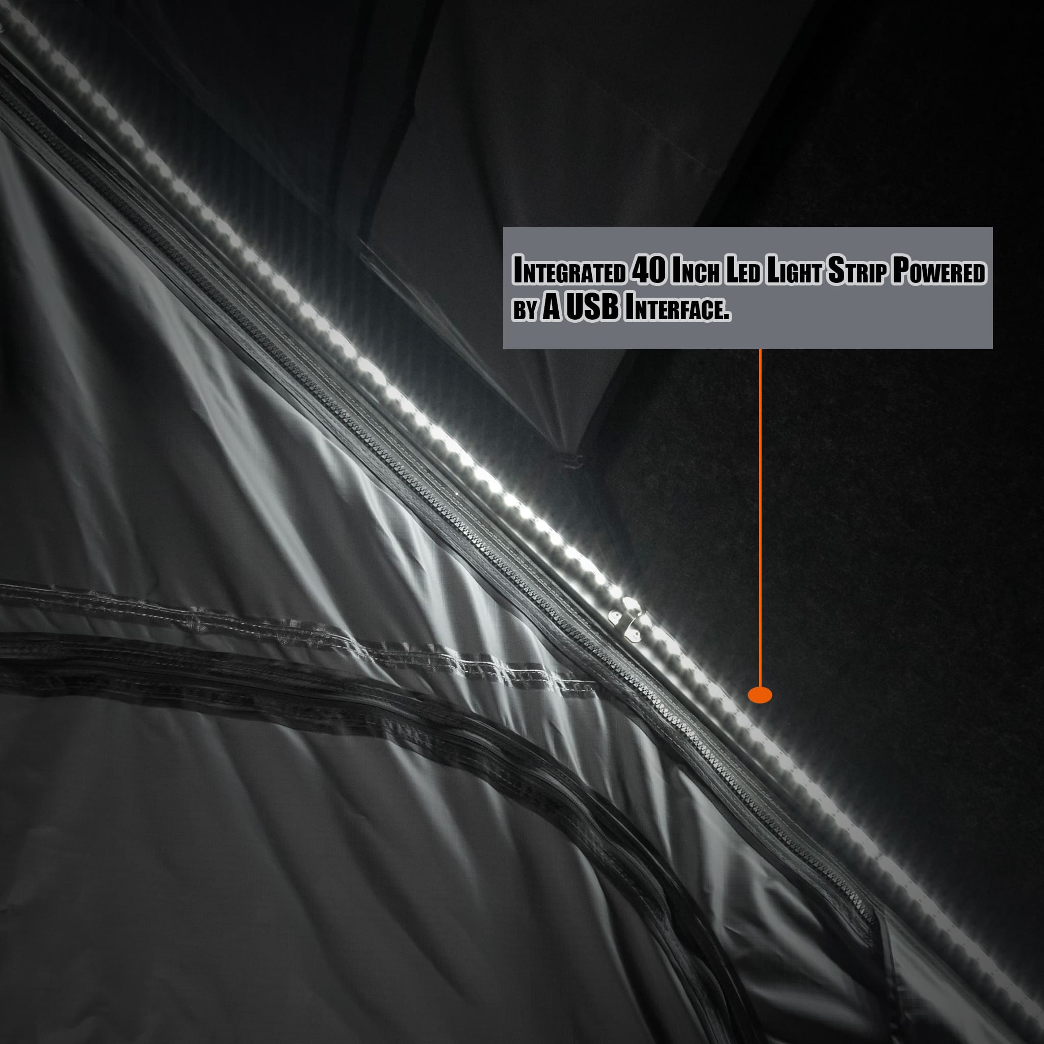
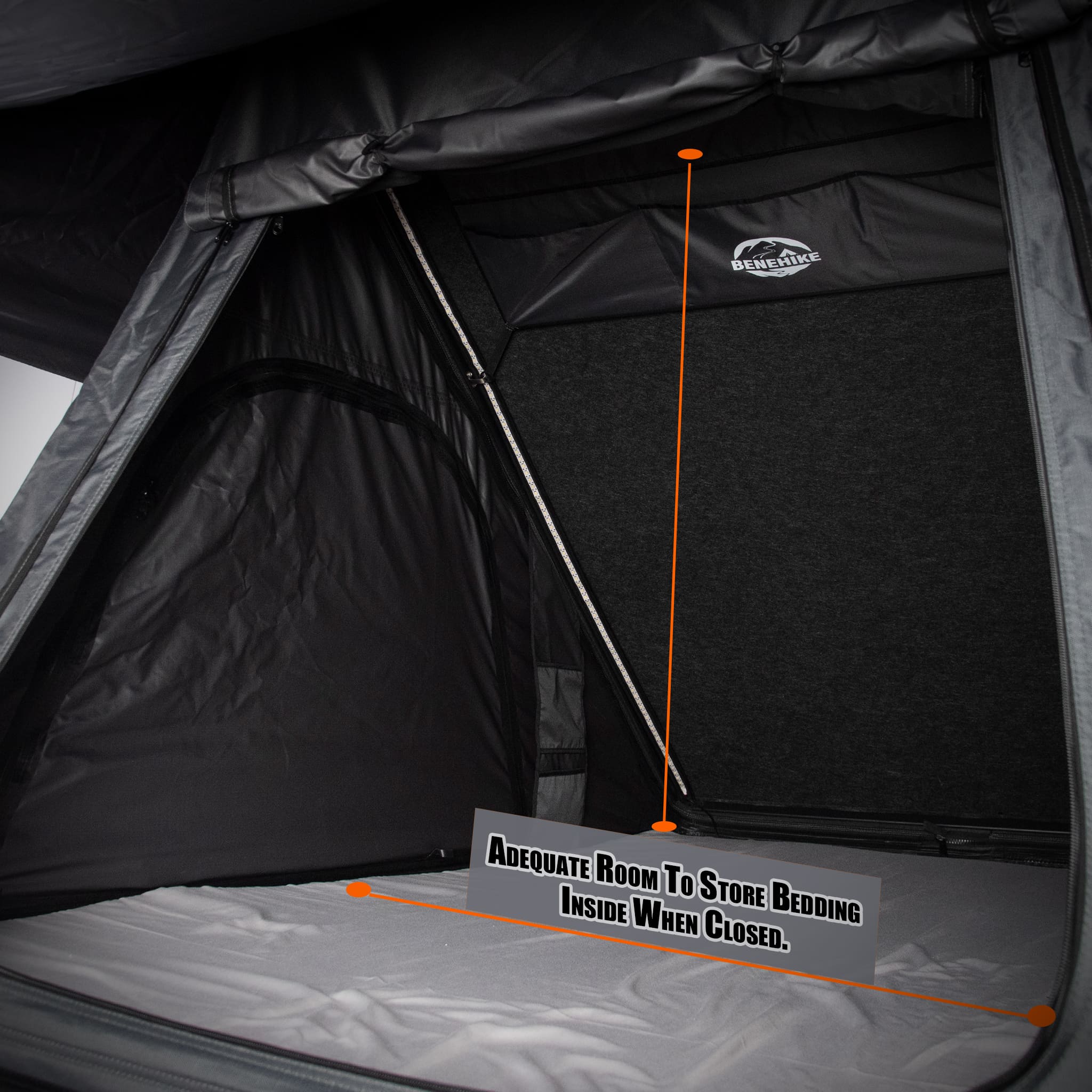
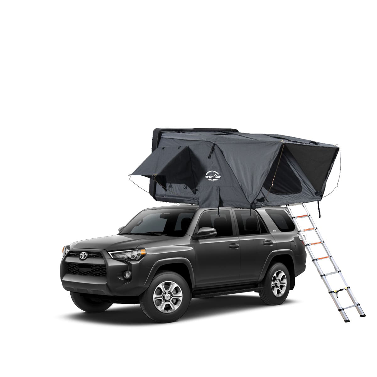
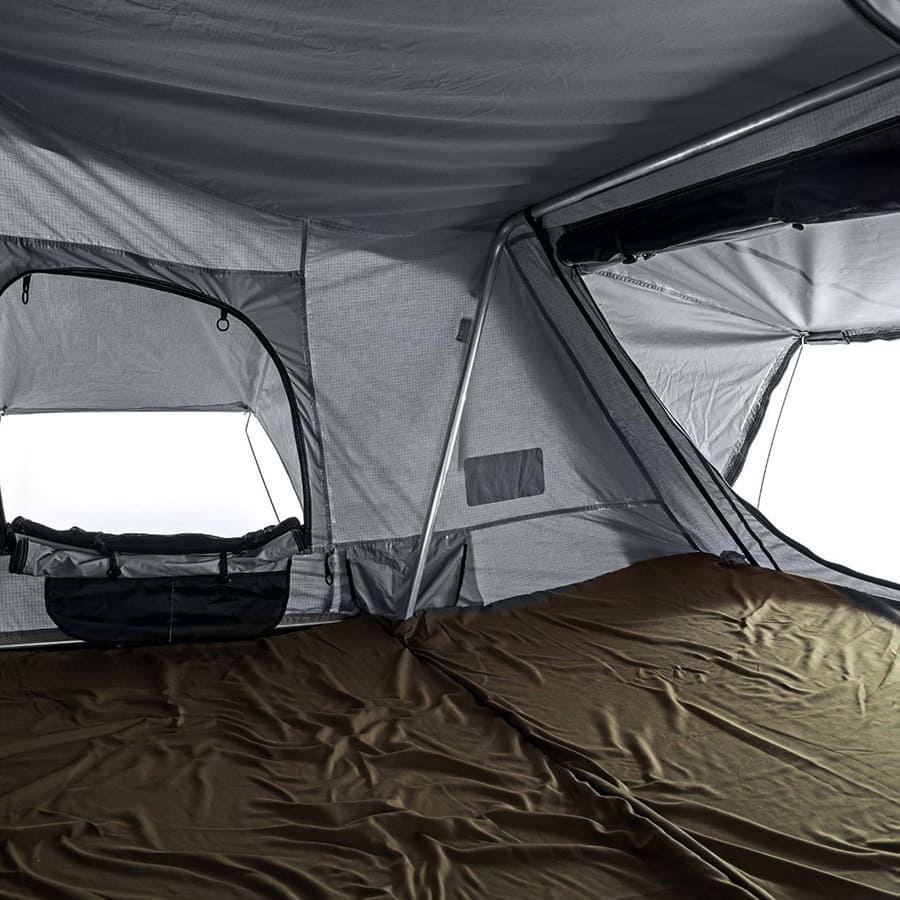
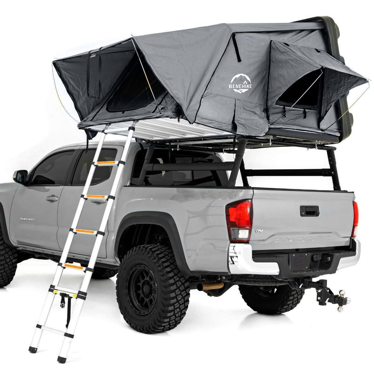
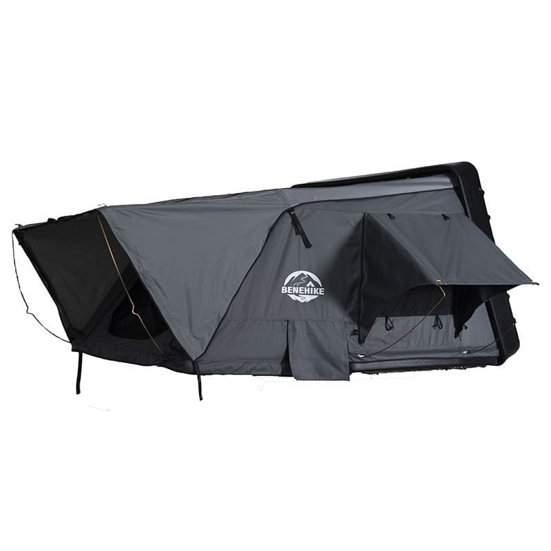
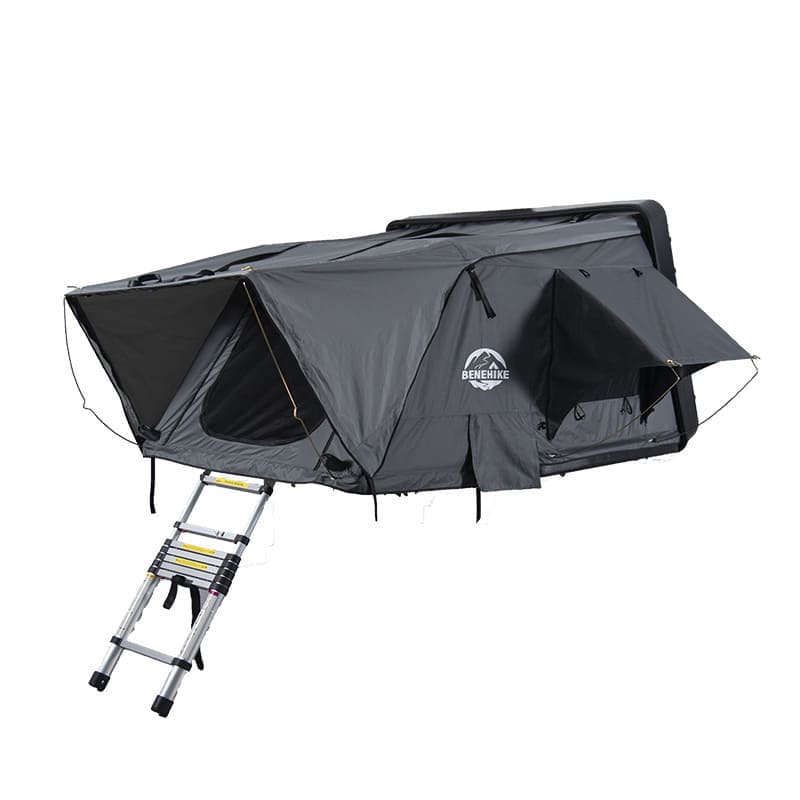
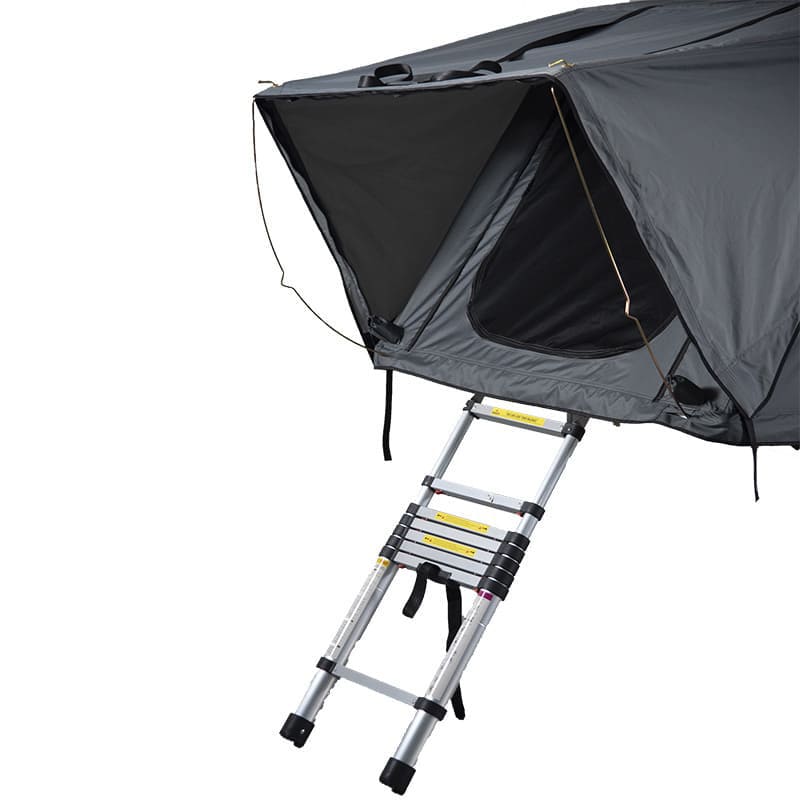
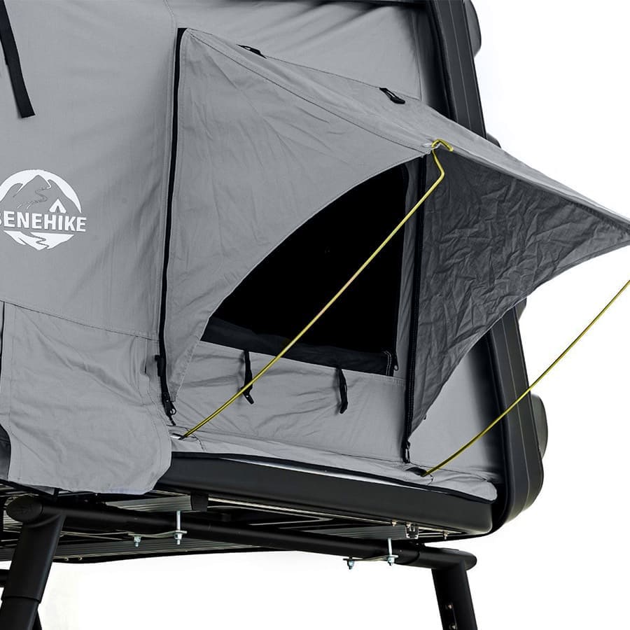
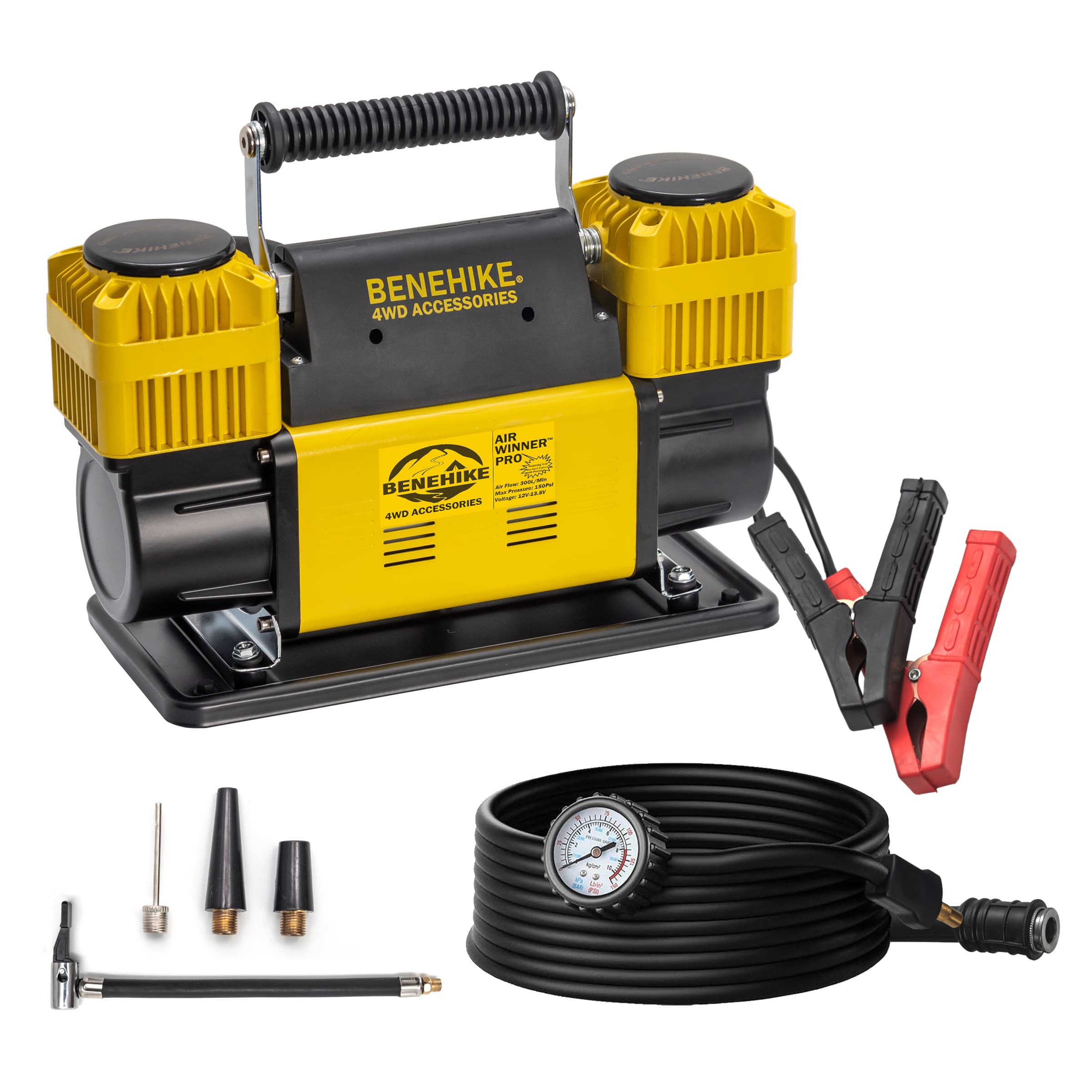
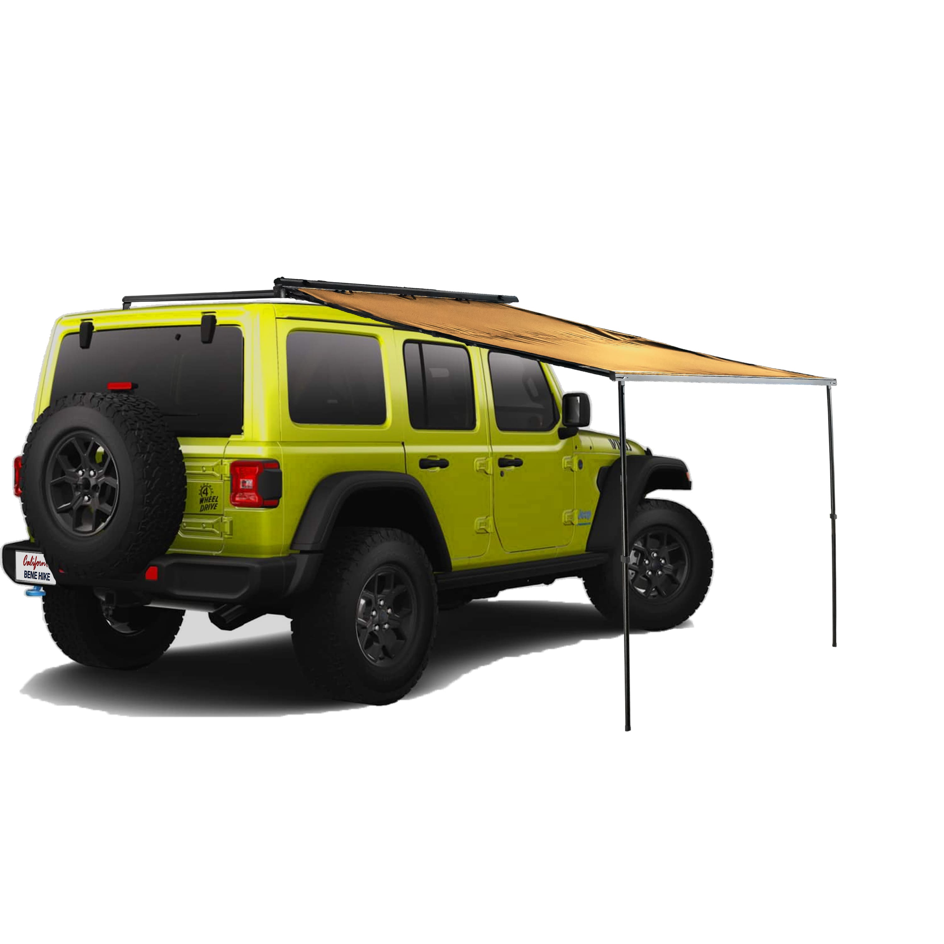
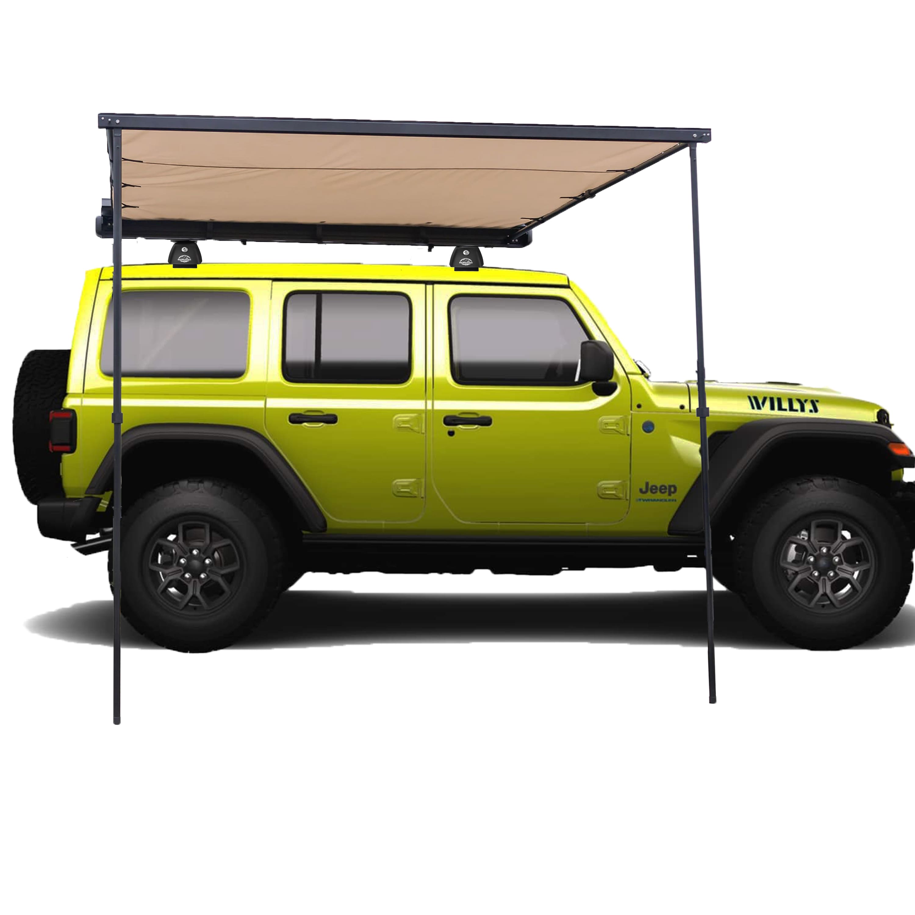
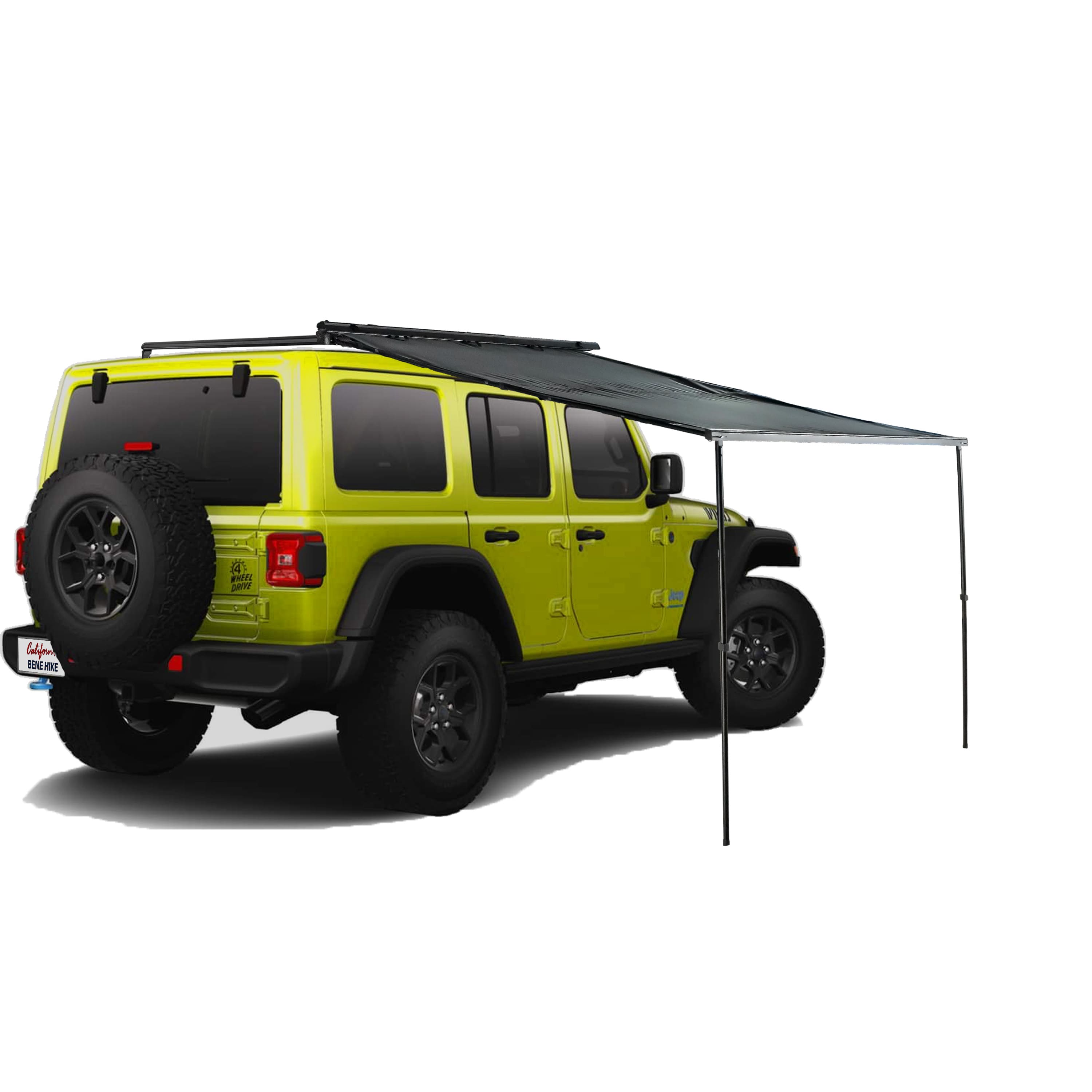
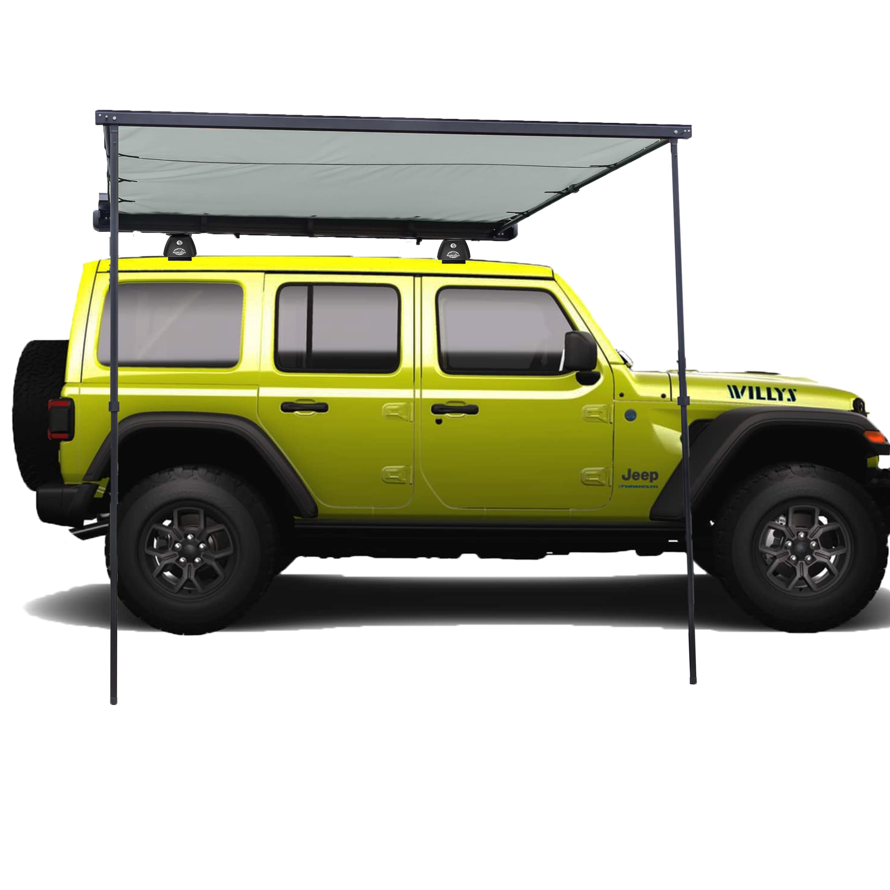
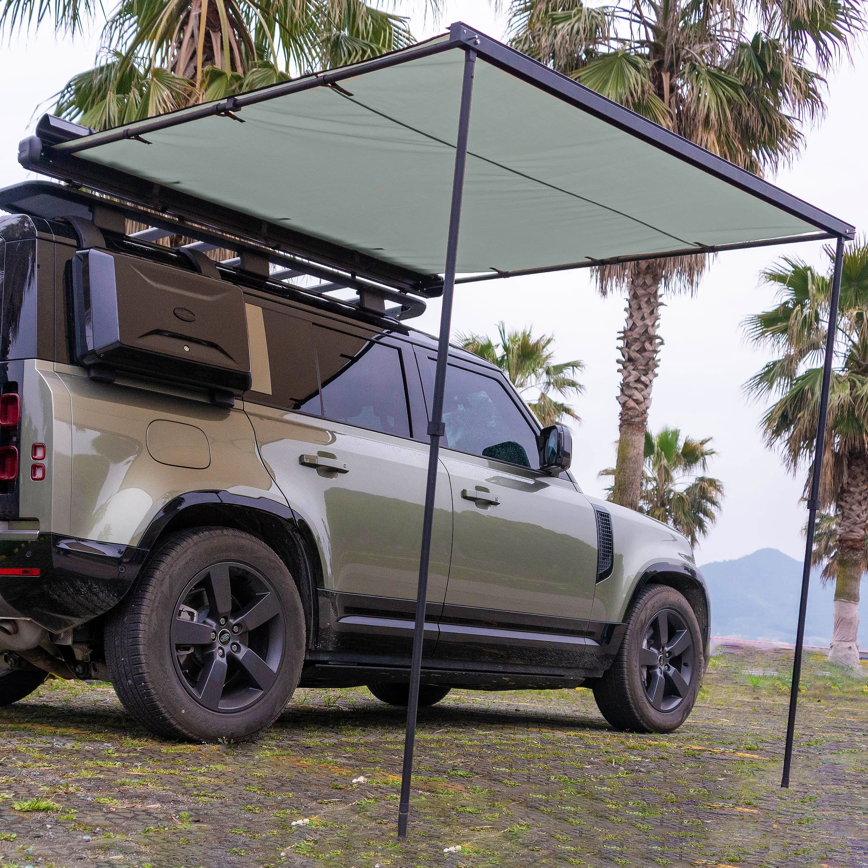
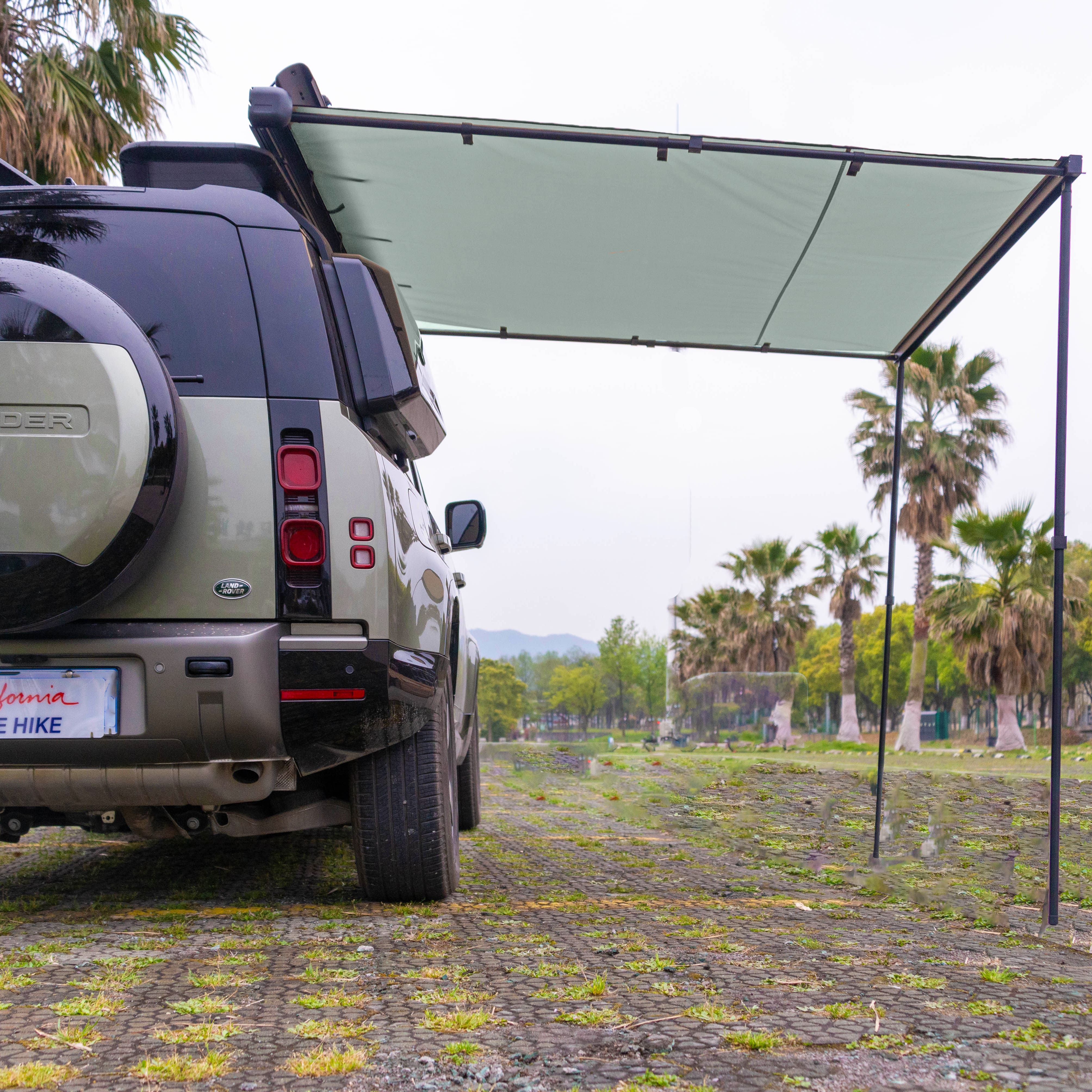
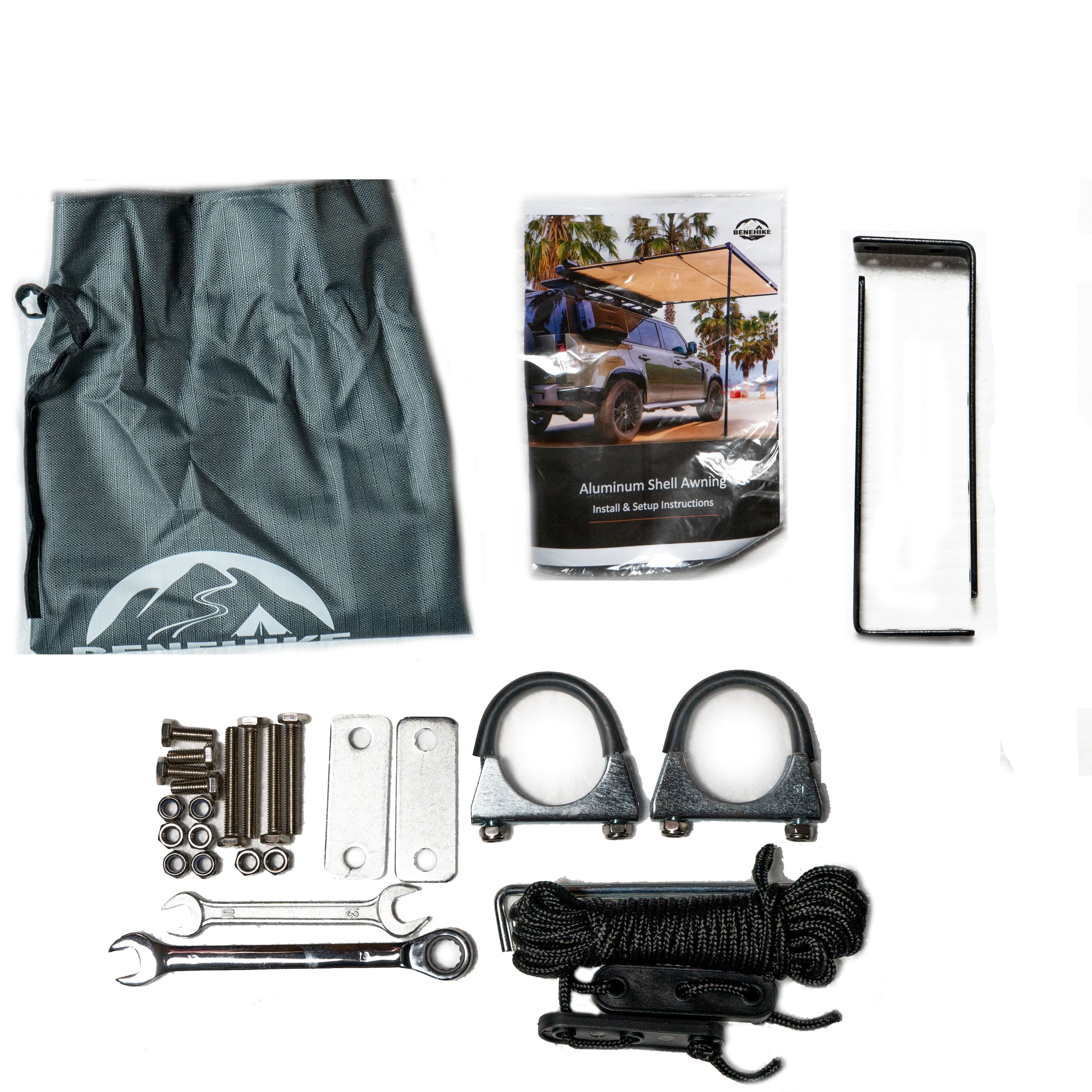
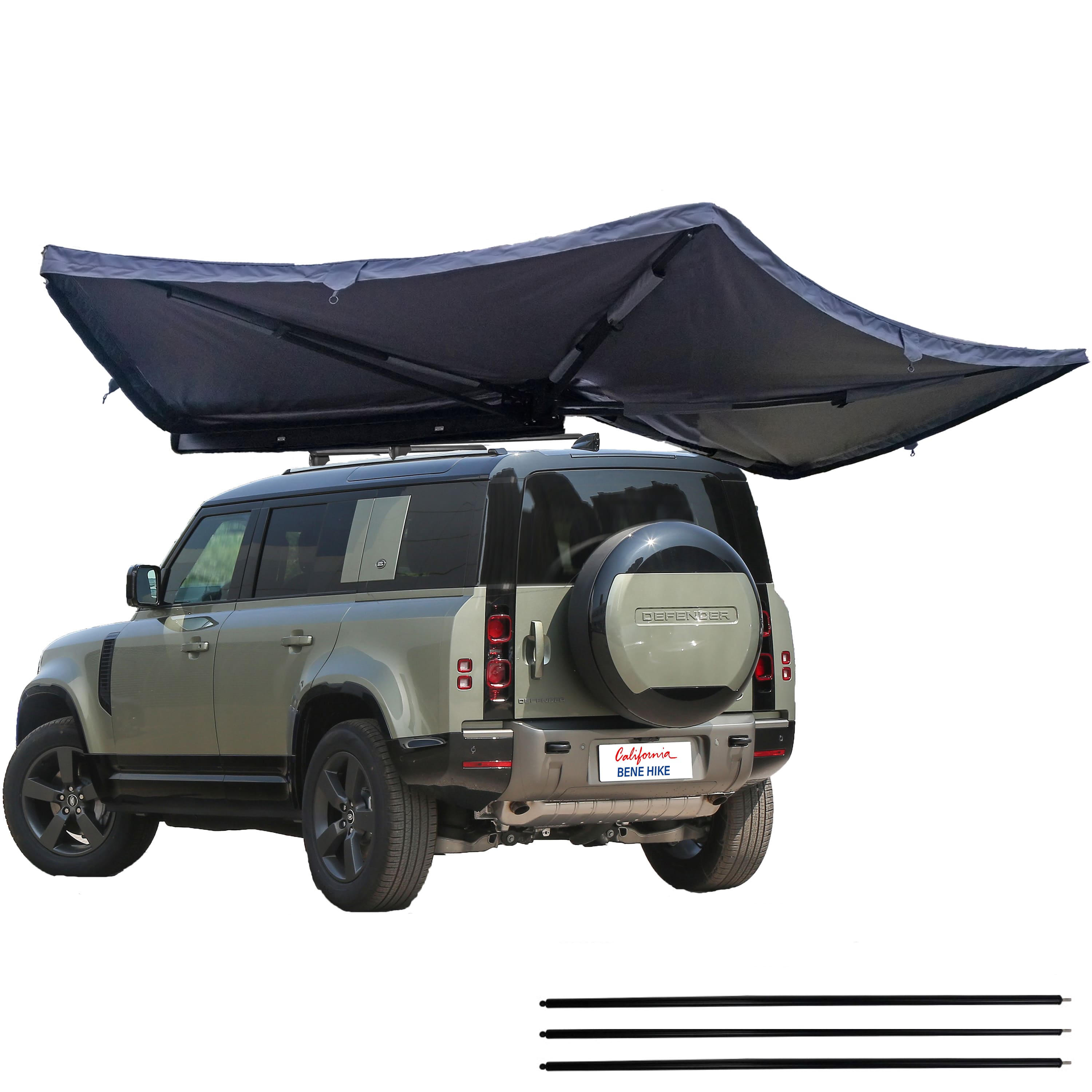
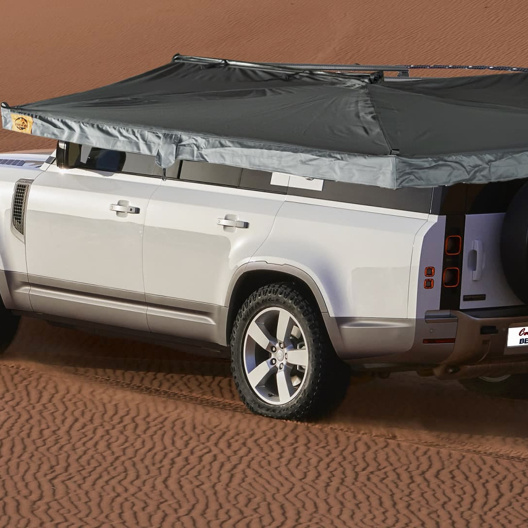
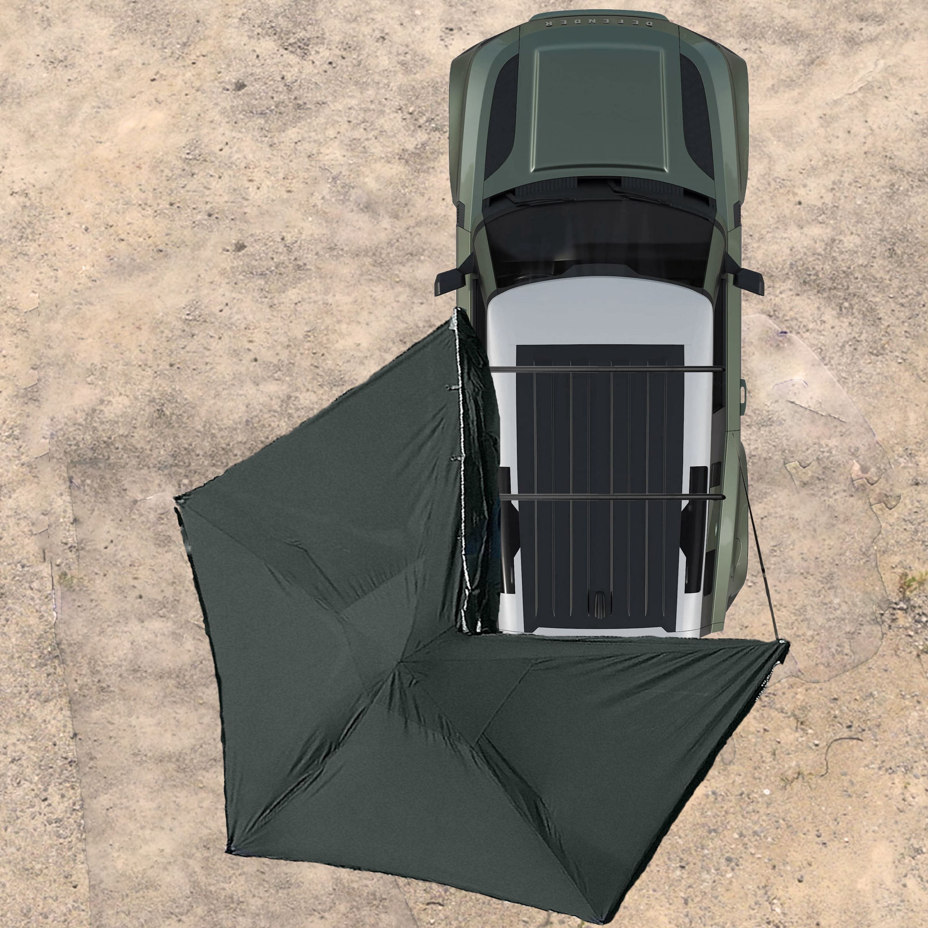
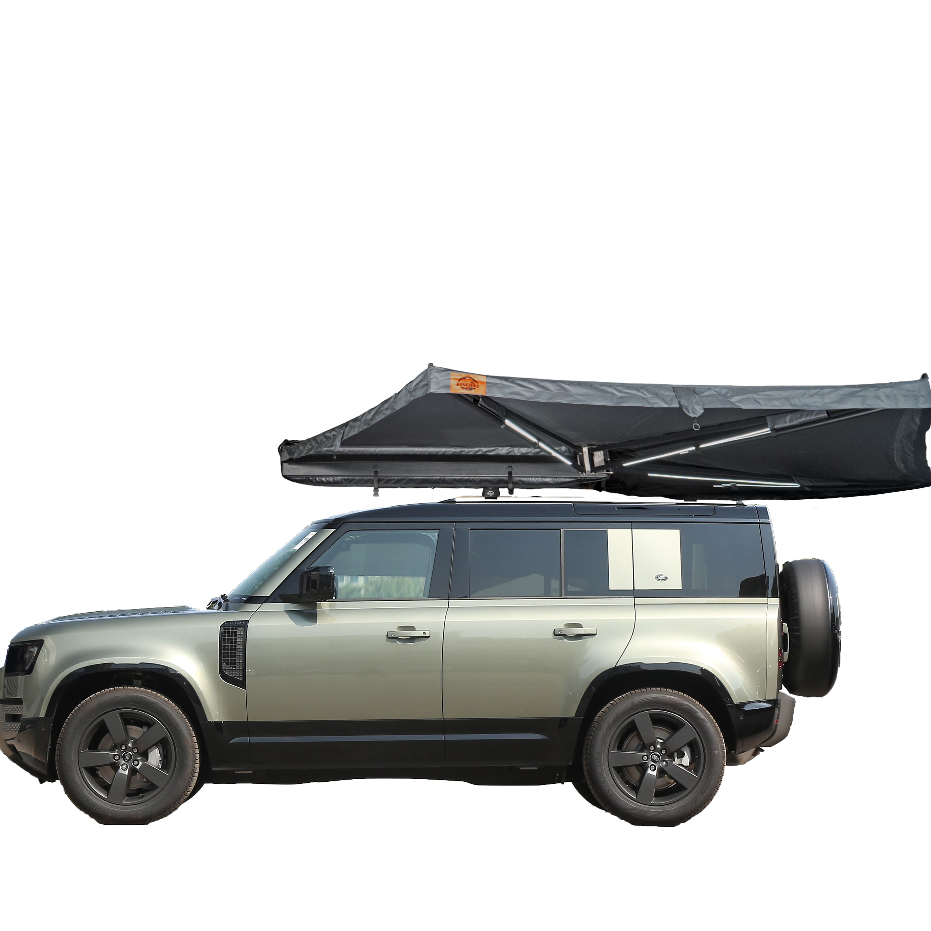
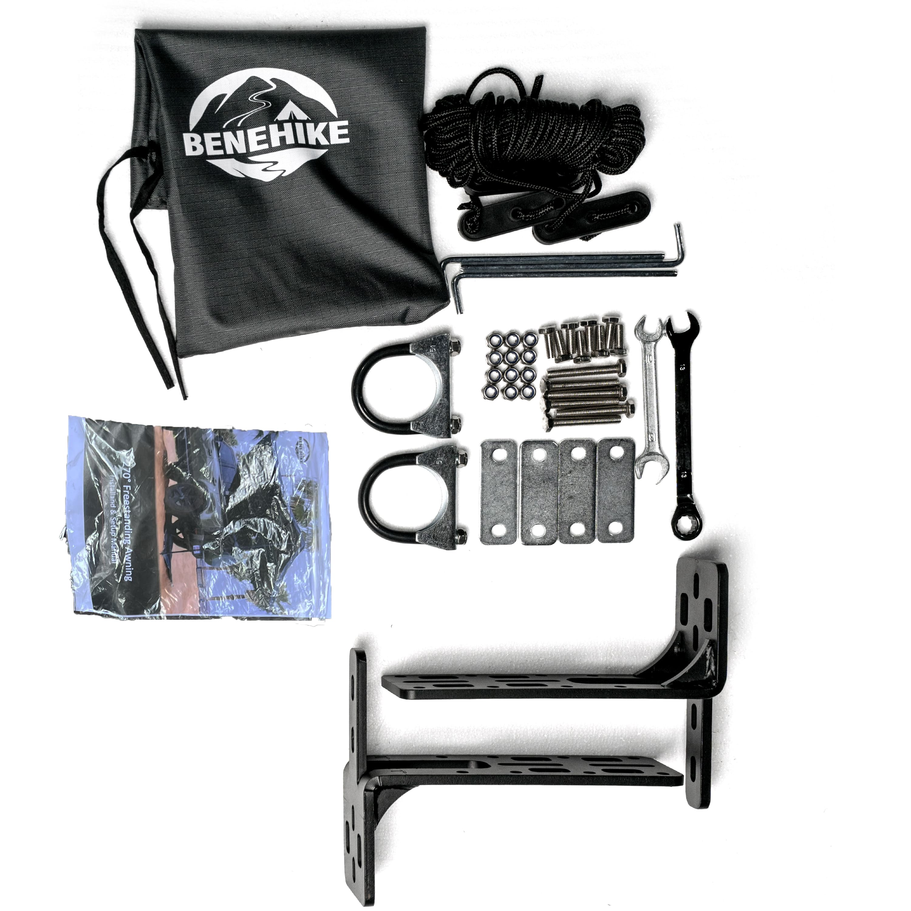
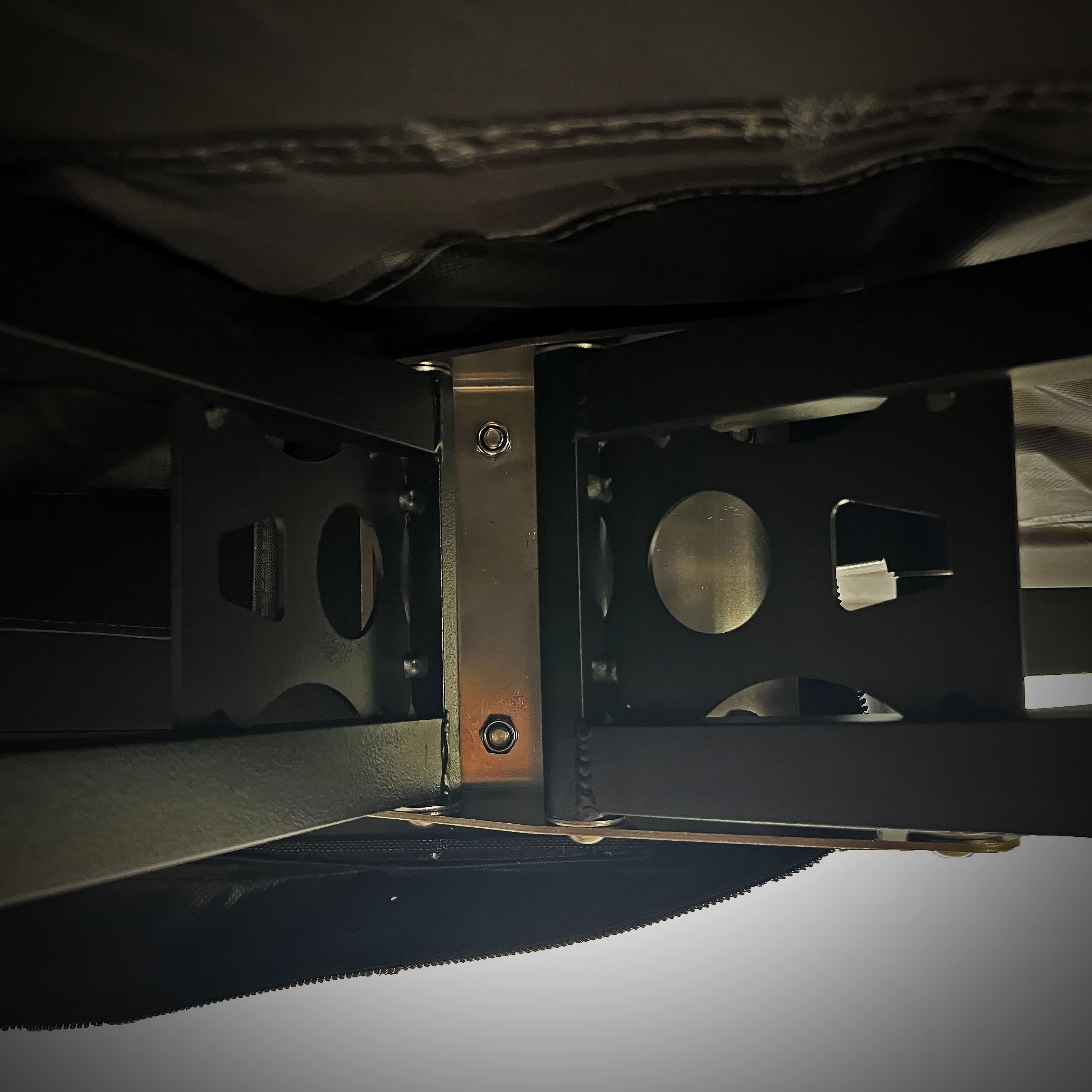
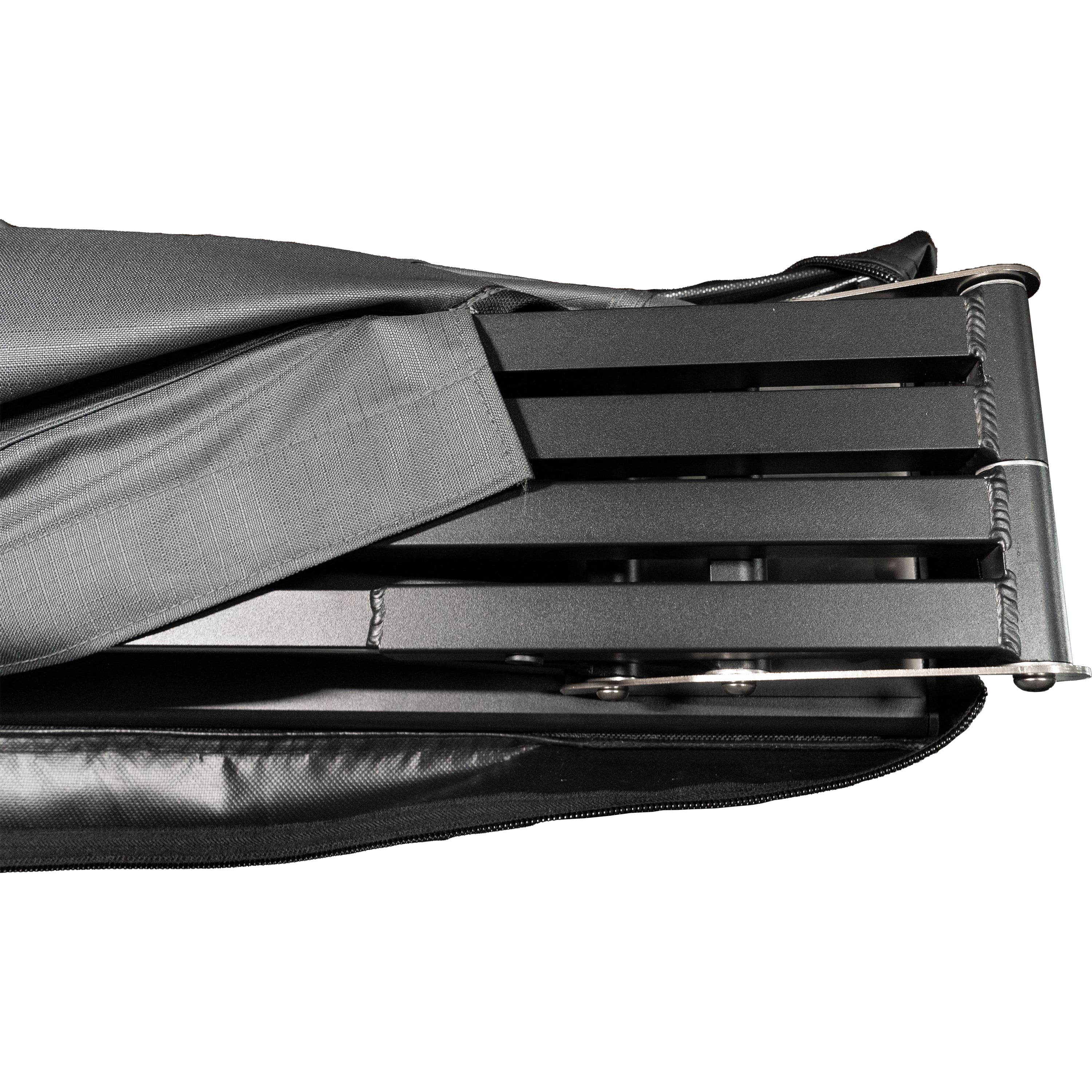
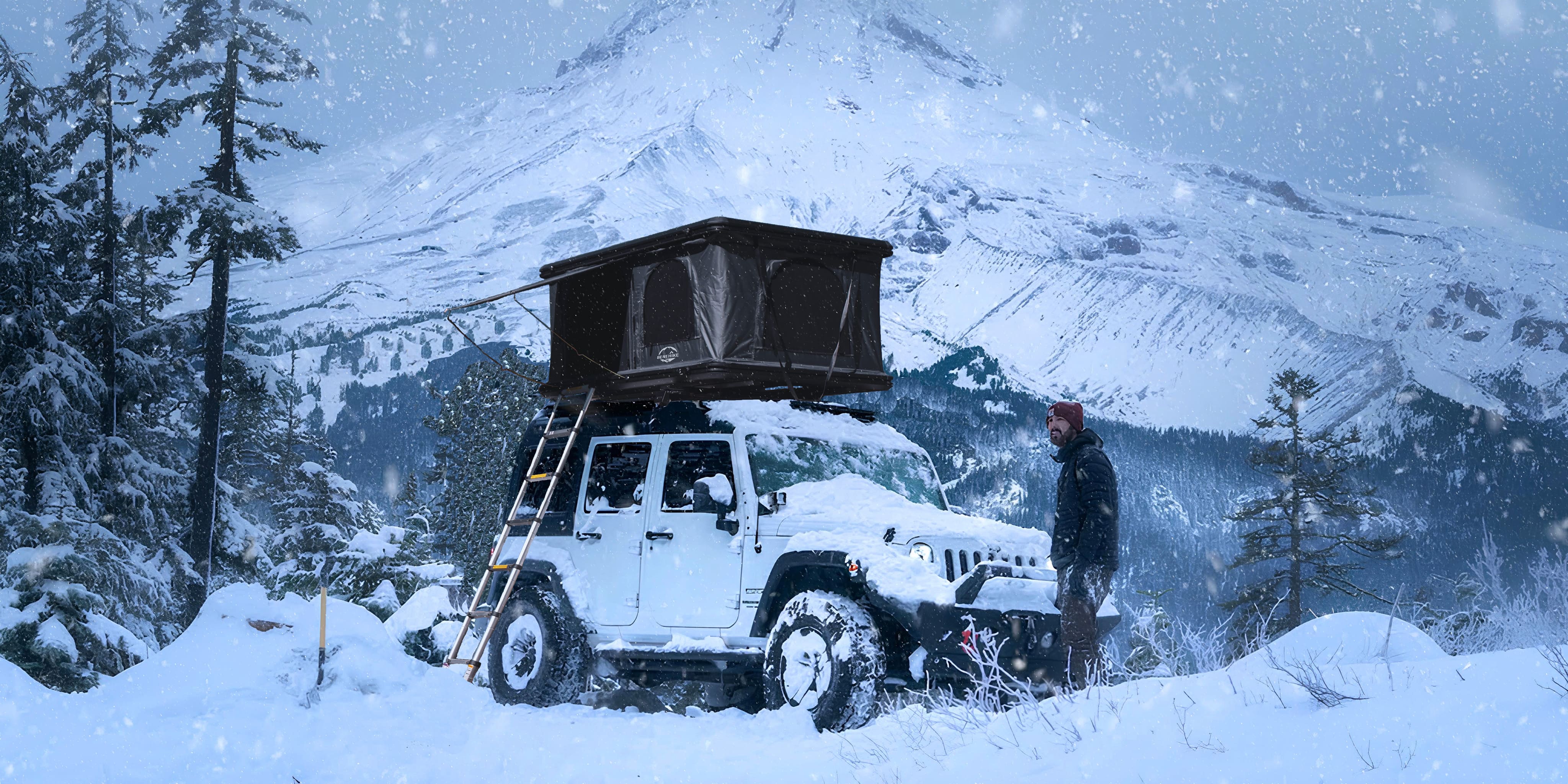
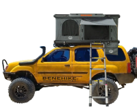
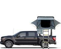
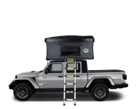
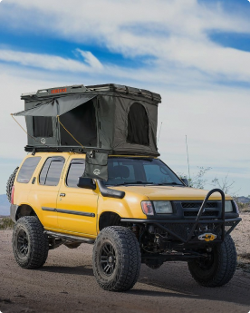
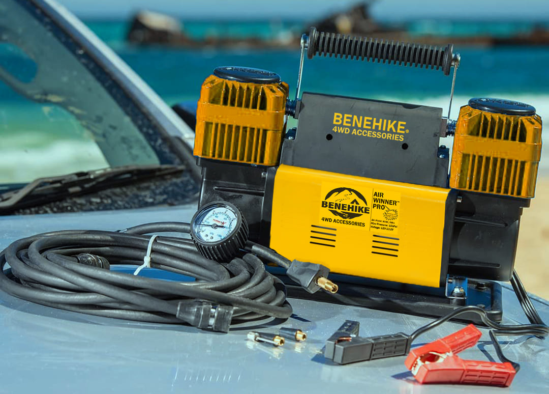
If you are an adventurer, take your overlanding gear, and drive your vehicle plus your rooftop tents, go overlanding in Virginia. Overlanding can be enjoyed globally, but there's something special about the experience in places as naturally rich and beautiful as Virginia. If you don't have the gear, check out our buyer guide for rooftop tents and car awnings. To truly grasp the essence of what Virginia has to offer and ensure a memorable overlanding journey, we've compiled a list of the top overlanding spots in the state.
Overlanding in Virginia
Situated in the southeastern part of the U.S.A., Virginia stands proudly as one of the original 13 colonies. It's a state of rich heritage and diverse offerings. Among its notable accolades is its status as the nation's leading oyster producer, with a staggering 3.5 million oysters harvested in 2019 alone. Beyond its aquatic bounty, the state is renowned for its mouth-watering Virginia Brunswick stew and iconic landmarks like the Shenandoah National Park and Skyline Drive. With such a vast array of attractions and experiences, it's clear why Virginia stands out as a top tourist destination.
Related: 10 Best Overlanding Routes in Texas
Ready for the exploration of overlapping trails in Virginia? Let's get started!
Peters Mill Run OHV Trail

Peters Mill Run OHV Trail (see the official USDA website for more details) may not be an extensively long overlanding route, but it provides the intimate connection with nature that many overlanders desire. It is the largest OHV trail system in the state of Virginia and is a tranquil 13-kilometer trail with minimal traffic.
While the Peters Mill Run OHV Trail may be short, it presents only a moderate level of difficulty for overlanders. So we recommend for those with substantial off road or overlanding experience navigating rocky terrains. Due to the challenging nature of the trail for standard vehicles, it is advised to use a high-clearance vehicle. However, since only the initial few kilometers of the trail are rocky, experienced drivers may choose to navigate the trail with a regular 4x4 vehicle .
If you've been there, you would find the various terrains and landscapes reflecting the beauty of nature. From rocky path to sparse trees and even to sandy dirt roads, all these contribute to the value of Peters Mill Run OHV Trail exploration.
Access to the trail is available from three parking areas in the vicinity. Travelling from north to south on the trail involves descending a hilly road, while reversing the direction from south to north involves ascending the hill, which some may find enjoyable. The closest town to Peters Mill Run OHV Trail is Edinburg, VA
Regardless of your chosen direction, traversing the Peters Mill Run OHV Trail is an enjoyable overlanding adventure. The trail is accessible from early April until early January, but the best time to visit it is from May to December as it's a bit of windy there and and a permit is required for its use. A one day permit is $5.00 and can be purchased at a number of local gas stations and stores.
Peters Mill Run OHV Trail Overlanding Takeaways:
-
Permit Requirement: Permits are mandatory for all trail users, not sold on site, and include daily, three-day, and annual options. They are non-transferable, non-replaceable, and valid only with user’s name and dates of use.
-
Restrictions and Safety: Riders must follow specific restrictions such as riding only on designated trails, wearing DOT-approved helmets, and adhering to age-related ATV cc limits. No passengers allowed unless the ATV is designed for it.
-
Seasonal Operation: Open from early April to early January, but operational status is weather-dependent. Call the Lee Ranger District before arrival to check for weather-related closures.
-
No Drinking Water: No drinking water is available on site. All water taken from natural sources must be purified before use.
-
Facilities: The only facility available is vault toilets at the Edinburg Parking Lot.
Coal Road

Coal Road is yet another brief trail located in the Old Dominion State. However, in contrast to Peter’s Mill Run OHV Trail, Coal Road is very straightforward to travel and can be navigated using any road-legal vehicle. Spanning approximately 23 kilometers with an estimated elevation gain of about 637 feet, Coal Road is accessible throughout the year and is ideal for a short solo or family overlanding excursion.
In fact, Coal Road can serve as a convenient detour en route to more challenging trails.
Coal Road can be likened to a short and engaging story that you wish would never conclude. It features a predominantly well-maintained point-to-point route with minimal to no obstacles encountered along the way. The only noticeable issue that may be encountered on this trail is the presence of potholes, although these are relatively minor inconveniences.
While journeying along Coal Road, you will encounter trailheads for hiking and biking. Although these paths may be bustling with hikers and bikers, the overall environment remains relatively serene. It is possible to explore Coal Road in under two hours, regardless of the activity level on the road.
Coal Road provides easy access to the Bald Mountain Jeep Trail and Turkey Pen Trail. However, it is important to note that, unlike Coal Road, both of these trails are seasonal.
Pocahontas OHV Trail

Pocahontas OHV Trail in Virginia should not be confused with the Pocahontas Trail System in West Virginia. Despite sharing the same name, these are two distinct trail routes, each offering its own unique and enjoyable adventure and they are all the best overlanding routes for you to consider.
The Pocahontas OHV Trail system encompasses approximately 120 kilometers of trails. As a recently established trail system in Virginia, Pocahontas OHV Trail is accessible to ATVs, UTVs, and other off-road-capable 4x4 vehicles with high clearance.
The trails are designed to accommodate all experience levels, from novice overlanders to seasoned adventurers seeking a challenging trail to add to their repertoire of explored routes. The Pocahontas OHV Trail system features a mix of easy dirt roads, challenging muddy tracks, elevated ledges, and everything in between. While the diverse terrains contribute significantly to the overlanding experience offered by this trail system, the scenic beauty is the icing on the cake, with expansive views of the rolling hills and mountains.
Although the Pocahontas OHV Trail is open to the public, a permit is required before venturing onto any of the trails within the system. Permit prices range from 30 to 60 dollars.
Like many other trail systems, the Pocahontas OHV Trail is subject to regulations that ensure safety and order. The trail is open year-round, from sunrise to sunset.
Reddish Knob Spur

Reddish Knob Spur is situated in Dayton, North River, and can be conveniently accessed from Flagpole Knob. Simply backtrack 5 kilometers to the intersection with FR 924, then proceed south past the intersection for approximately 3.2 kilometers until you reach a fork in the road. Take the left fork and continue driving for about 0.6 kilometers.
Reddish Knob Spur is a 31.2-kilometer trail with an elevation gain of approximately 1300 feet. As a multi-use trail, it is suitable not only for overlanders seeking a picturesque adventure but also for hikers and bird-watchers desiring the ultimate outdoor experience.
Although not widely known, the entirety of the Reddish Knob Spur trail, except for the northernmost 4 kilometers, is composed of backroads within the George Washington National Forest. The roads are primarily gravel and dirt, with only a few sections featuring challenging ruts. This makes the trail easily navigable with any 4x4 vehicle.
While on Reddish Knob Spur, you will be treated to spectacular views of the surrounding area, including ridge-line vistas, panoramic forest views, and a diverse array of intriguing wildlife, such as the red-tailed hawks inhabiting the region.
Bald Mountain Jeep Trail

Bald Mountain Jeep Trail, situated in the George Washington and Jefferson National Forests in Virginia, is a favorite among overlanding enthusiasts looking for a challenging and scenic route.
This trail encompasses a variety of terrains, including rocky paths, steep inclines, and muddy sections, making it a diverse and exciting adventure for off-road drivers of all skill levels.
The trail stretches for approximately 4.5 miles, and it usually takes about 2-3 hours to traverse, depending on the vehicle and the driver's experience.
The trailhead is located near the town of Woodstock, Virginia, and can be accessed via the State Route 758. While there is no fee to access the trail itself, a permit is required for motorized vehicles using the trails in the National Forest.
Overlanding on the Bald Mountain Jeep Trail is best undertaken in a high-clearance 4x4 vehicle equipped with robust off-road tires, as certain sections of the trail can be particularly challenging, especially after a heavy rain.
It is also recommended to travel with at least one other vehicle in case of emergencies, and to carry essential recovery gear, navigation equipment, and sufficient food and water for the duration of your trip.
SAVAGE RIVER STATE FOREST

Savage River State Forest, located in Maryland, not Virginia, encompasses over 54,000 acres of varied terrains, offering different levels of challenges. These terrains are multi-purpose and welcome everyone, including hunters, motorists, mountain bikers, and hikers.
All trails within the Savage River State Forest provide a serene and tranquil experience with nature, primarily because the areas do not experience high traffic. Each change in season brings a new burst of colors and experiences. Whenever you visit the Savage River State Forest Trails, you are guaranteed a delightfully unique experience.
Some of the trails within the Savage River State Forest include the Meadow Mountain Trail, Monroe Run Trail, Negro Mountain Trail, and Backpacker Loop 24. Each trail varies in length, ranging from 7.4 kilometers to over 38 kilometers.
BIG LEVELS 4×4 TRAIL – BLUE RIDGE OHV ROUTE

Big Levels to the Blue Ridge OHV Route is a 27.4-kilometer point-to-point trail located near Stuarts Draft. The northern entrance of the trail can be accessed from Coal Road, while the southern entrance can be accessed from the Blue Ridge Parkway. As a point-to-point trail, it can be traversed from either direction without any issues.
The trail includes some narrow paths, hairpin switchbacks, various obstacles, water runoff, and an elevation that increases when driving from north to south, classifying Big Levels to the Blue Ridge OHV Route as moderately challenging. To navigate this route, a 4x4-capable vehicle is necessary.
Shoe Creek Trail

Shoe Creek Trail, located in the George Washington and Jefferson National Forests in Virginia, is a popular destination for overlanding enthusiasts seeking a moderately challenging and scenic adventure. This trail features a mix of terrains, including rocky sections, water crossings, and mud holes, making it an exciting and diverse route for off-road drivers with varying levels of experience. The overall length of the trail is approximately 6 miles, and it typically takes about 2-3 hours to complete, depending on the vehicle and driver's experience.
The entrance to the trail is located near the small town of Montebello, Virginia, and can be accessed via the Crabtree Falls Highway (Route 56). While the trail itself is free to access, a permit is required for motorized vehicles using the trails in the National Forest. As of my last update, the cost of a permit is $5 per day or $30 for an annual permit, but prices may have changed since then, so it's advisable to check with the local Forest Service office or online before your trip.
Overlanding on Shoe Creek Trail is best done in a high-clearance 4x4 vehicle with good off-road tires, as some sections of the trail can be particularly challenging, especially after heavy rainfall. It's also advisable to travel with at least one other vehicle in case of emergencies, and to carry recovery gear, navigation equipment, and enough food and water for the journey.
One of the reasons Shoe Creek Trail is considered one of the best overlanding routes in Virginia is because of its natural beauty. The trail winds through dense forests, crosses picturesque streams, and offers stunning views of the surrounding mountains. Additionally, the trail's varying levels of difficulty make it a satisfying challenge for both novice and experienced overlanders alike.
Flagpole Knob

Flagpole Knob is one of several trails located within the George Washington National Forest, extending approximately 21 kilometers with an elevation gain of 1330 feet.
Situated along the border between Virginia and West Virginia, Flagpole Knob can be accessed via Switzer Lake Road, Union Springs, or Briery Branch Gap, each of which offers captivating landscapes to explore.
As the trail predominantly consists of dirt roads with few obstacles, it is one of the most accessible trails in Virginia. Flagpole Knob provides sweeping views of the surrounding mountains, complemented by the magnificent forests and picturesque streams in the area.
Although navigating Flagpole Knob is relatively straightforward, it is crucial to consider the trail's condition. With over 12 miles of road and an elevation gain exceeding a thousand feet, it is important to be adequately prepared. This involves traversing the route with a 4x4 high-clearance vehicle, which will facilitate navigating steep and narrow sections without any difficulties.
Flagpole Knob is accessible year-round. However, to err on the side of caution, it is advisable to inquire about road conditions if planning a visit during the fall or winter months.
Potts Mountain Jeep Trail

Potts Mountain Jeep Trail, also referred to as Forest Road 5036, is situated near Paint Bank in the Jefferson National Forest.
Overlanding involves exploring the world via on-road or off-road terrains, and this is why we recommend Potts Mountain Jeep Trail. However, it’s generally the most challenging route for off roading as well. And it’s unlikely that you will meet other people there so it’s a good start for your overloading adventure.
For those seeking an exhilarating overlanding journey that will get your heart racing, Potts Mountain Jeep Trail is the ideal choice.
This trail is a 24-kilometer point-to-point route located near Paint Bank, Virginia. Although the average completion time is around 6 hours, depending on your speed, the Potts Mountain Jeep Trail offers an unparalleled challenging overlanding experience in true Virginia fashion.
The best time to go there perhaps is after the summer, since there are lots of bugs there. So be sure to prepare some anti bugs spray. Our team recommend the best time of overloading there is October to Next year April.
Certain sections of the Potts Mountain Jeep Trail are deeply rutted, and many other parts are rocky. To ensure a smooth journey, it is advised to traverse the trail with a 4x4 high-clearance vehicle, which will enhance your chances of completing the trail without encountering any vehicle-related issues.
For those new to overlanding, it is advisable to avoid Potts Mountain Jeep Trail as it may be too challenging for beginners.
SPEARHEAD TRAILS

The last best overlanding trail on our list is Spearhead Trails.
Taking a closer look at Spearhead Trails, it's clear why it's renowned as a top-tier location.
Spearhead Trails stands out as one of the most thrilling mixed-use areas in Virginia. It is a trail system mainly created for ATV enthusiasts, but it is also suitable for any capable overlanding vehicle, ensuring smooth navigation along the trails.
Located in Coeburn, Spearhead Trails is a vast network of ATV, hiking, horseback riding, and biking trails, all offering breathtaking mountain vistas of the surrounding region.
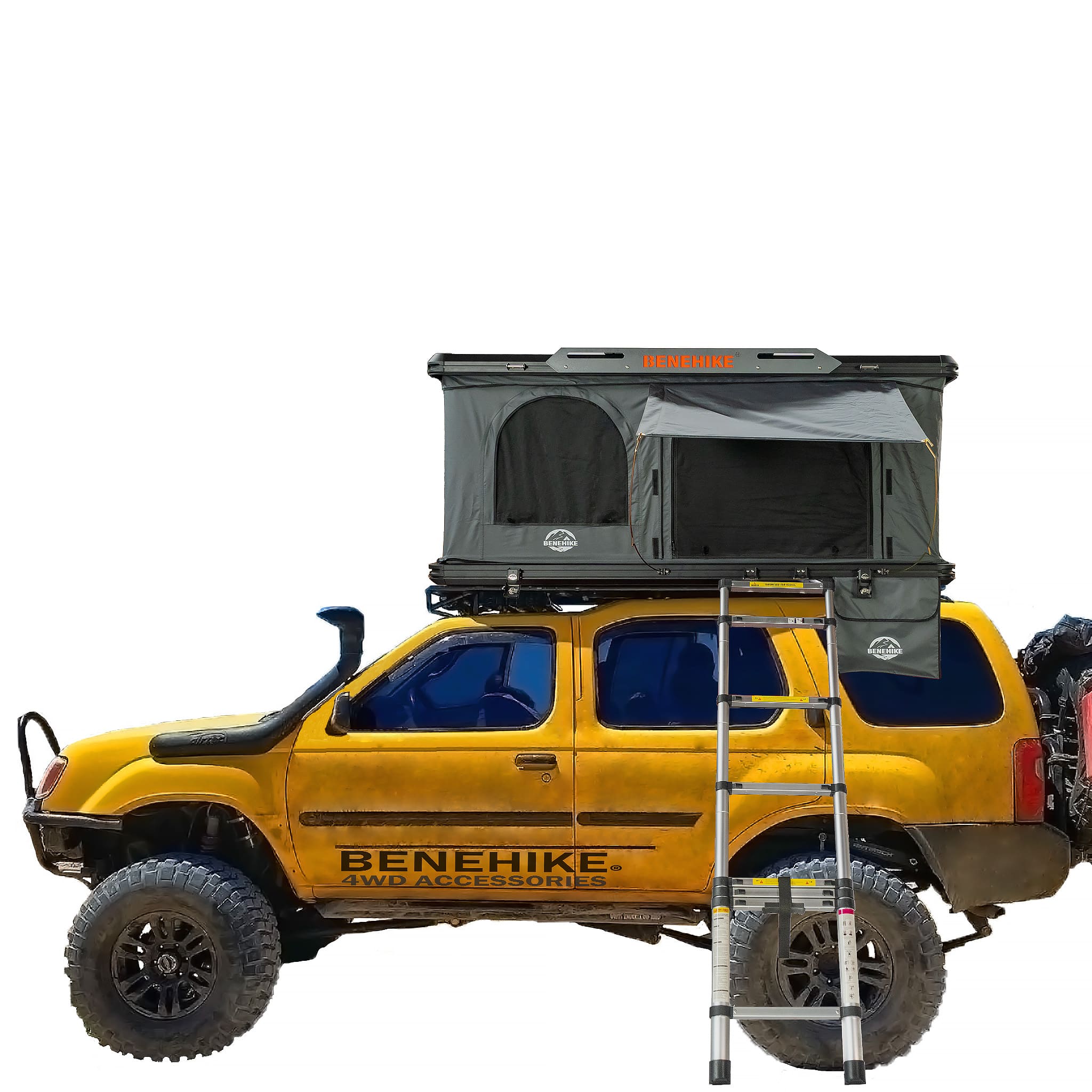
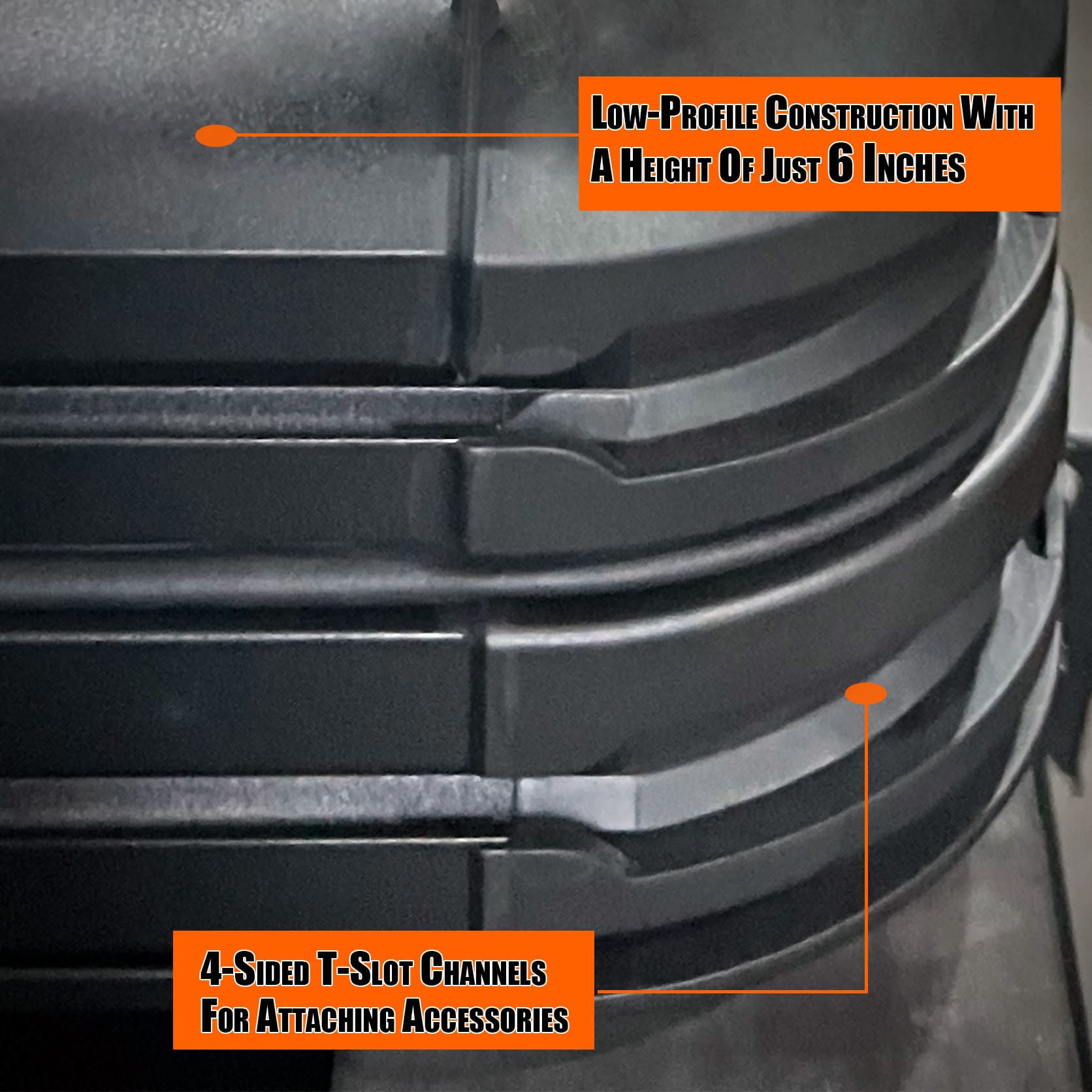
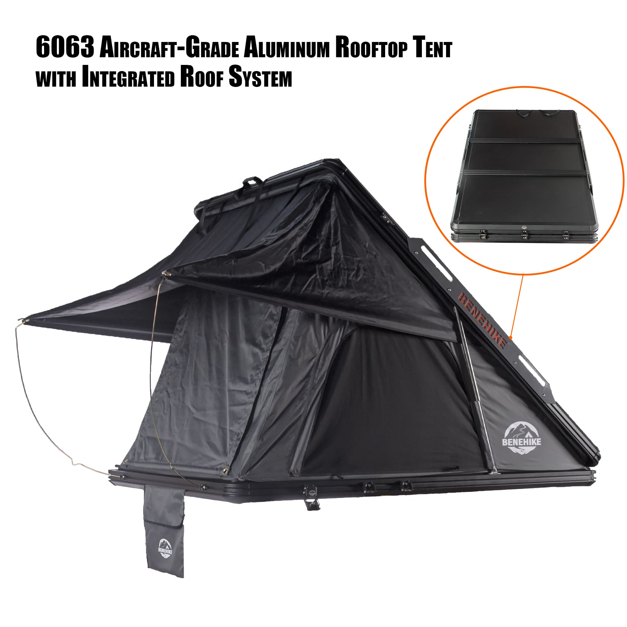
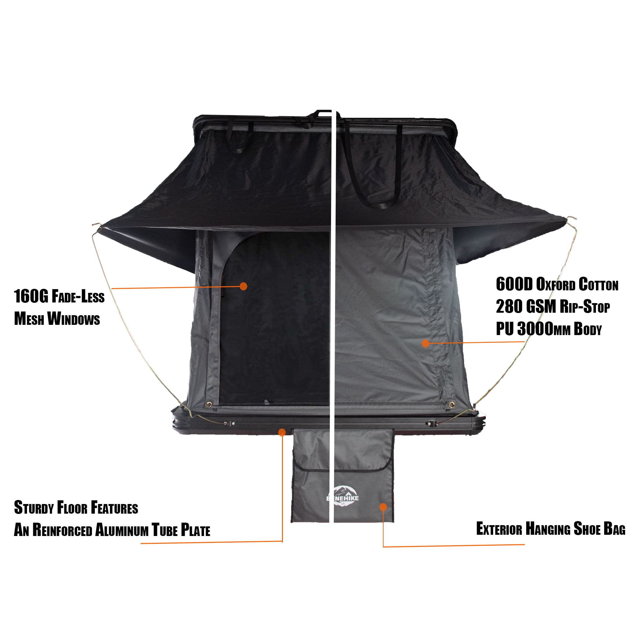
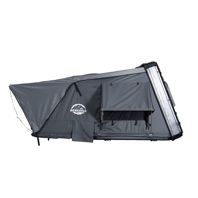
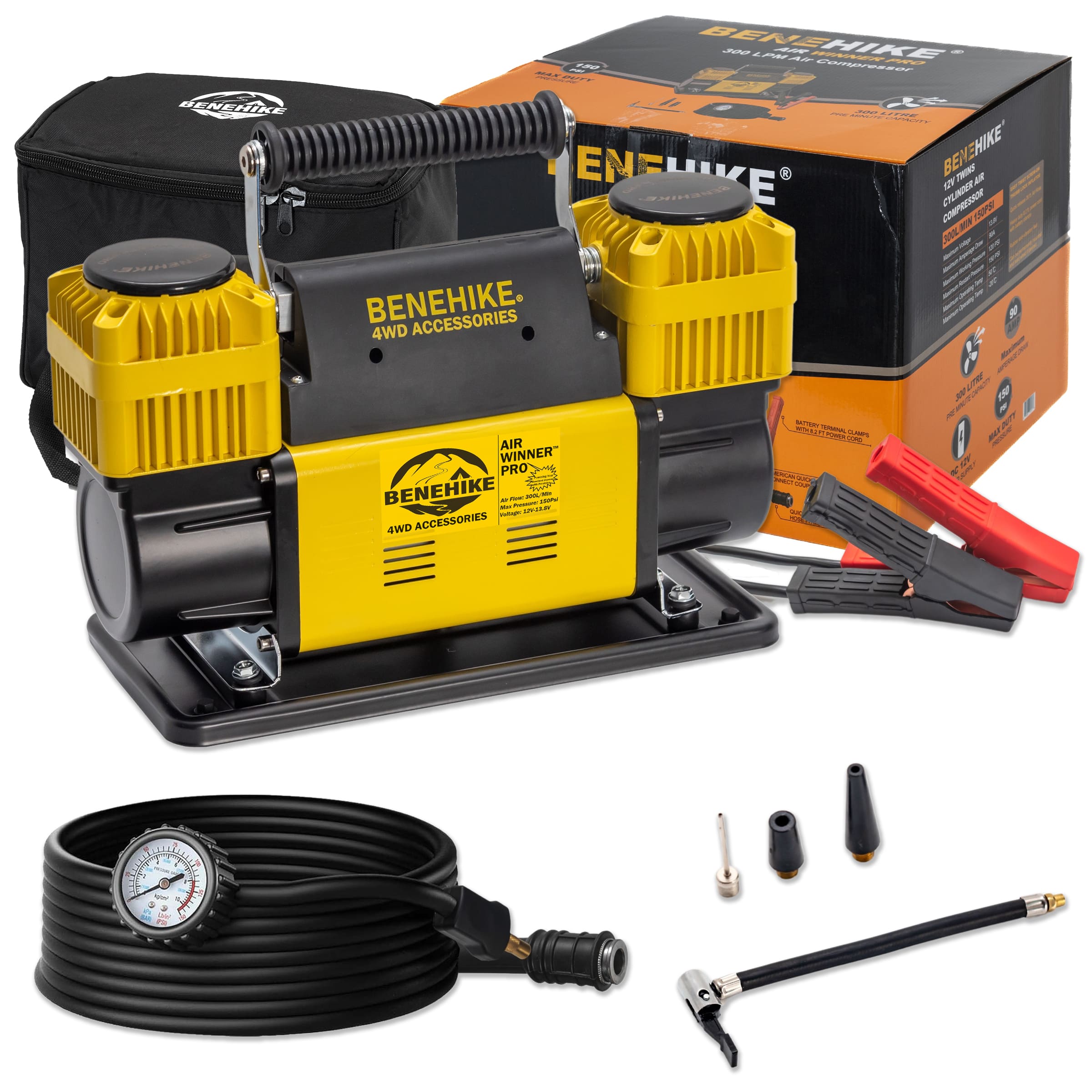
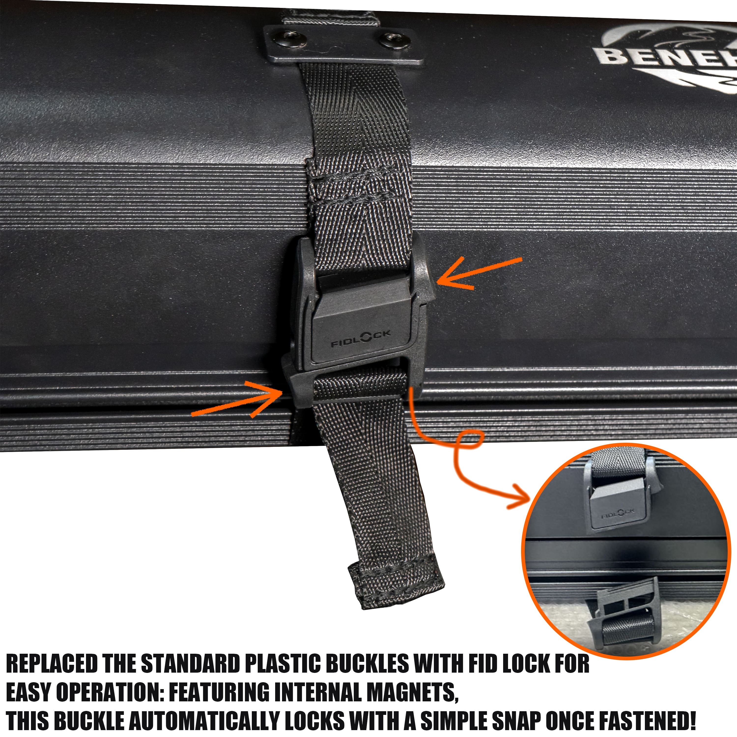
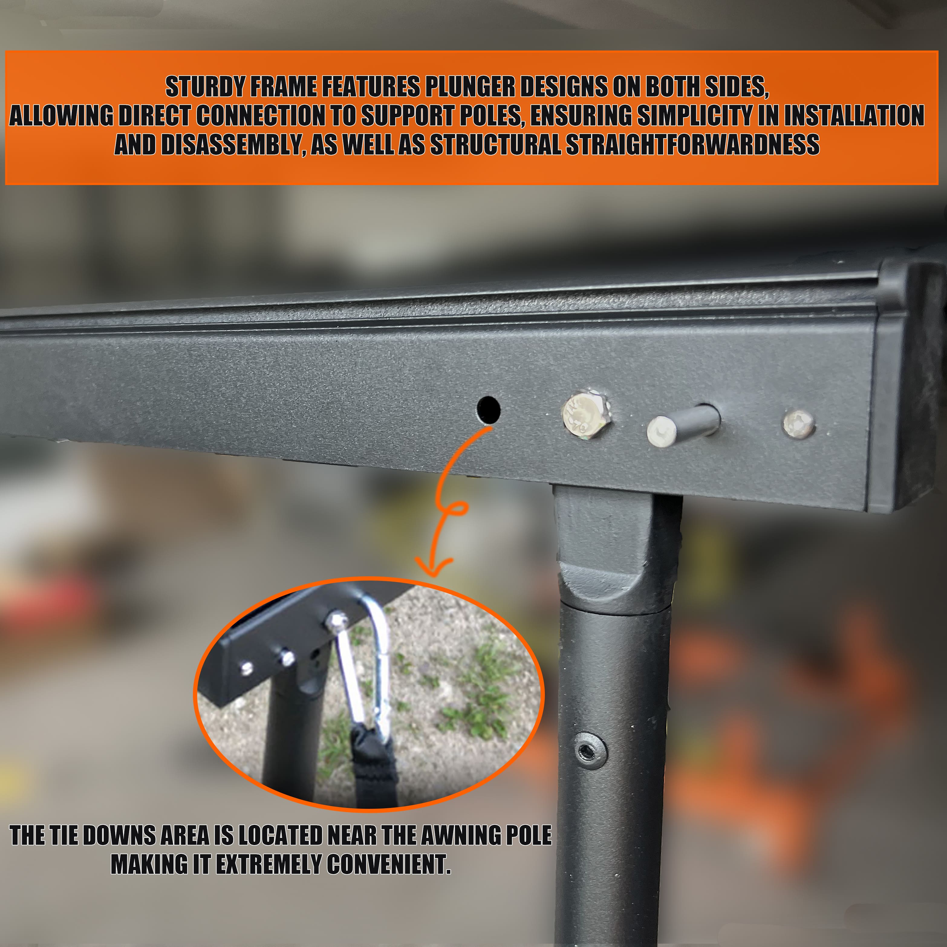
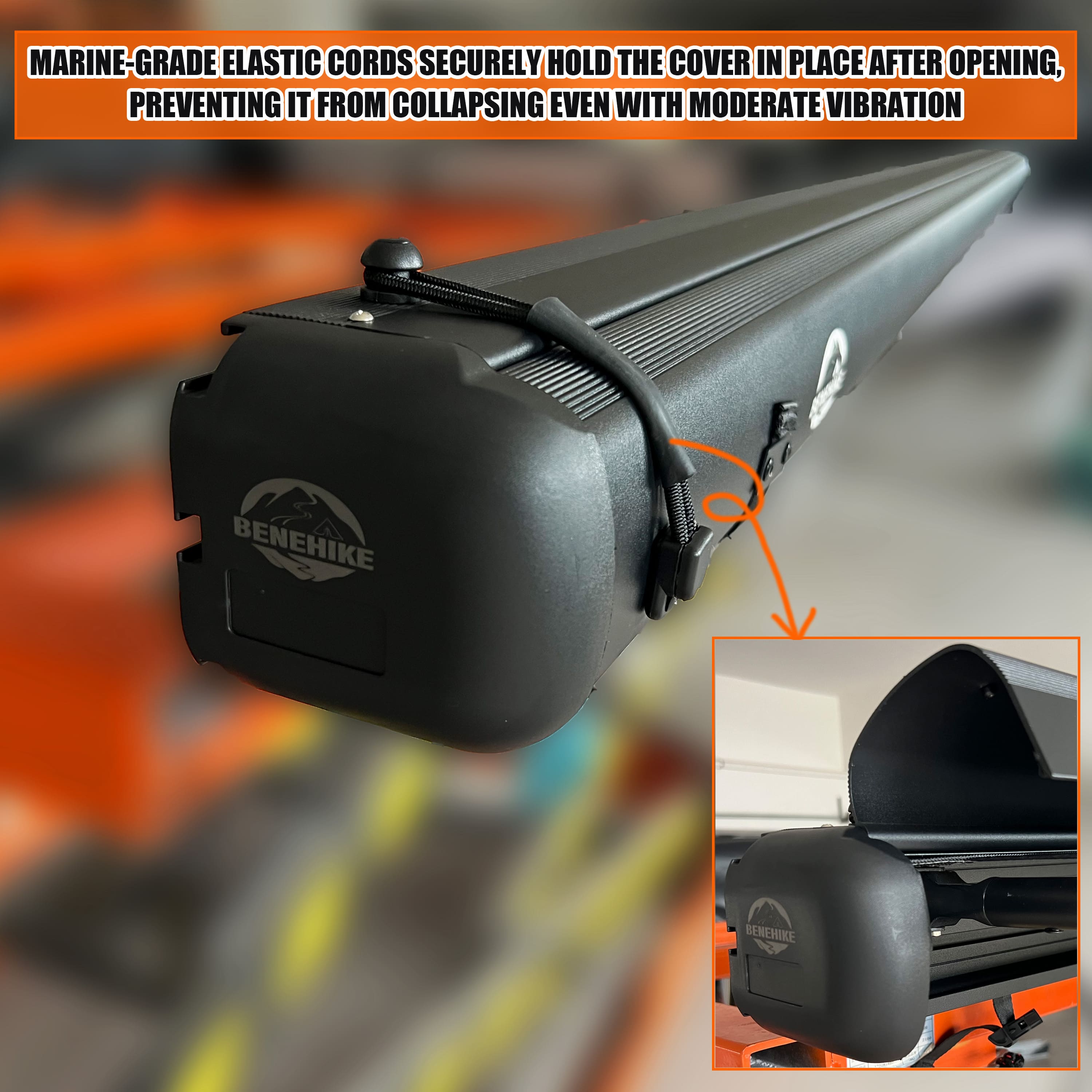
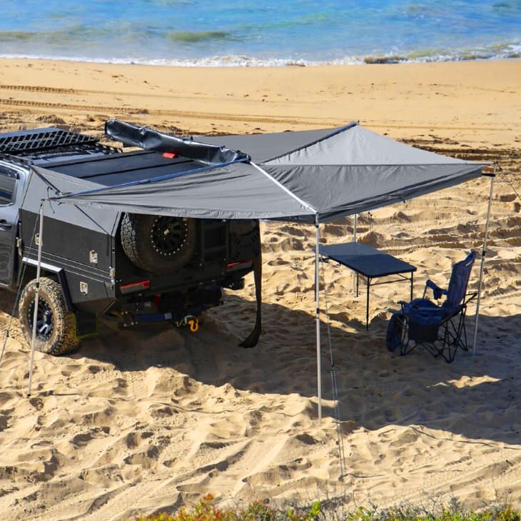
One of the highlights of Spearhead Trails, apart from its captivating scenery, is the varied levels of trail difficulty. The trail system provides a blend of simple and demanding paths, ensuring there's a trail suitable for everyone, from gentle dirt tracks to adrenaline-fueled ATV routes with unexpected twists. But make sure you take a good overloading rooftop tent. (Check out our best selected rooftop tents here)
With over 118 miles of tree-lined trails and 20 miles of single track, there's a vast expanse of land to discover at Spearhead Trails. When you combine this with the varied plant and animal life found along the trails, it becomes evident that Spearhead Trails delivers one of the finest overlanding adventures in Virginia.
Spearhead Trails is accessible throughout the year, allowing visitors to enjoy the splendor of the mountain trails in every season. The best time in a year to visit Spearhead Trails is from April to September when the weather is neither too hot nor too cold.
However, it's crucial to note that a permit is required to access all trails. If you don’t stay long, you can buy a 3 day permit at $20. But if you are a loyal overlander and want to visit Spearhead Trails many times in a year, then I suggest you can buy an annual permit at $63. You can find more info at here.
EXPLORING VIRGINIA ON WHEELS
Virginia is unquestionably one of the most thrilling destinations to explore in the United States. With its extensive land area and diverse landscapes, it's no wonder that many are drawn to traverse the various trails throughout the state.
No matter which trails you choose to embark on, it's crucial to be well-prepared for each journey. Don't leave behind your essential overland gear as you set out for adventure. Always adhere to the Leave No Trace Principles and prioritize safety at all times.
Interested in 2023 overlanding shows and expos across the USA? Take a look at the 2023 overlanding events.